Bakotska Bay
Bakotska Bay
- Country:
- Ukraine
- Site number:
- 1396
- Area:
- 1,590.0 ha
- Designation date:
- 17-11-2003
- Coordinates:
- 48°36'02"N 26°58'12"E
Carousel
CarouselMaterials presented on this website, particularly maps and territorial information, are as-is and as-available based on available data and do not imply the expression of any opinion whatsoever on the part of the Secretariat of the Ramsar Convention concerning the legal status of any country, territory, city or area, or of its authorities, or concerning the delimitation of its frontiers or boundaries.
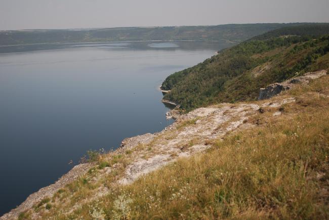
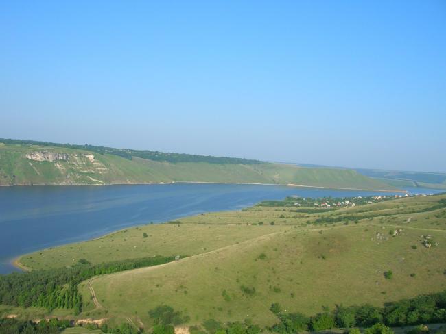
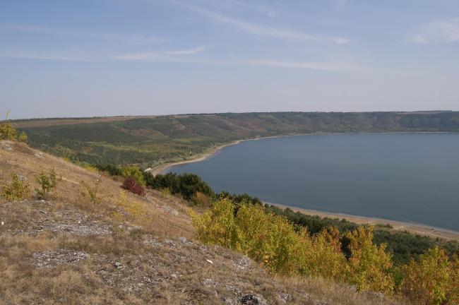
This half-open shallow bay was formed during the filling of a low-lying area of the Dniester River valley following the construction of the Dniester Reservoir. Rock formations within the Site provide breeding habitats and a migration stop for nationally protected birds of prey, such as the Eurasian eagle-owl (Bubo bubo) and the northern goshawk (Accipiter gentilis). Rock ledges which occupy a major part of the Site provide habitat for several bat species. The Site is important as a spawning ground for various fish species such as the nationally threatened Zingel zingel. Nature conservation activities and scientific research are carried out, while other human activities include water sport and recreation. The Bakotskyi Rock Cave Monastery, built in the 12th century, is a popular attraction for visitors. In 2021 the Site’s boundary was delineated more accurately, which increased the recorded area by 194 hectares.
- National Nature Park - Podilski Tovtry
- Other international designation
- UA1396RIS_2204_en.pdf
- UA1396RISformer_151105.pdf
- UA1396_map210730.pdf
- UA1396_map210730_1.pdf


