

Chott Aïn El Beïda
- Country:Algeria
- Site number:1414
- Area:6,853 ha
- Designation date:12-12-2004
- Coordinates:31°58'N 05°19'E
Materials presented on this website, particularly maps and territorial information, are as-is and as-available based on available data and do not imply the expression of any opinion whatsoever on the part of the Secretariat of the Ramsar Convention concerning the legal status of any country, territory, city or area, or of its authorities, or concerning the delimitation of its frontiers or boundaries.
Overview
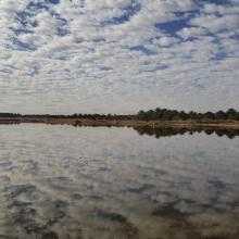
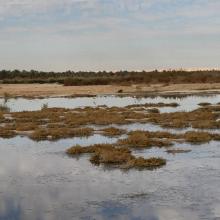
The Site is a saline depression surrounded by palm plantations, crossed by a number of canals that drain excess water from the plantations and the nearby town. Several bird species on the Eurasian-African pathway use the Site as a stopover; some of them stay during the winter, such as the ruddy shelduck (Tadorna ferruginea), while others nest there including the black-winged stilt (Himantopus himantopus) and the pied avocet (Recurvirostra avosetta). The mammals at the Site remain largely unstudied. The Saharo-Mediterranean vegetation belongs to 12 families; some of them such as Chenopodiaceae are known for their medicinal properties against gastric ailments and should benefit from special protection measures due to over-harvesting. Pollution from wastewater and unauthorized garbage dumps are the main threats to the birdlife of the Site. A management plan has been proposed, which aims to increase awareness through the construction of an eco-museum, a visitor centre, birdwatching towers and educational campaigns.
Administrative region:
Ouargla
- Last publication date:10-05-2019
Downloads
Ramsar Information Sheet (RIS)
Archived RIS
Site map
Additional reports and documents
- Taxonomic lists of plant and animal species occurring in the site
- Other published literature
