Laubersmad-Salwidili
Laubersmad-Salwidili
- Country:
- Switzerland
- Site number:
- 1444
- Area:
- 1,376.0 ha
- Designation date:
- 02-02-2005
- Coordinates:
- 46°47'54"N 07°59'26"E
Carousel
CarouselMaterials presented on this website, particularly maps and territorial information, are as-is and as-available based on available data and do not imply the expression of any opinion whatsoever on the part of the Secretariat of the Ramsar Convention concerning the legal status of any country, territory, city or area, or of its authorities, or concerning the delimitation of its frontiers or boundaries.
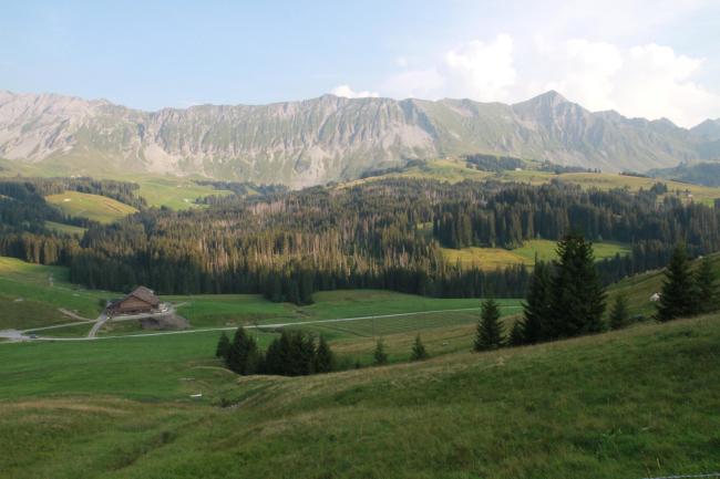
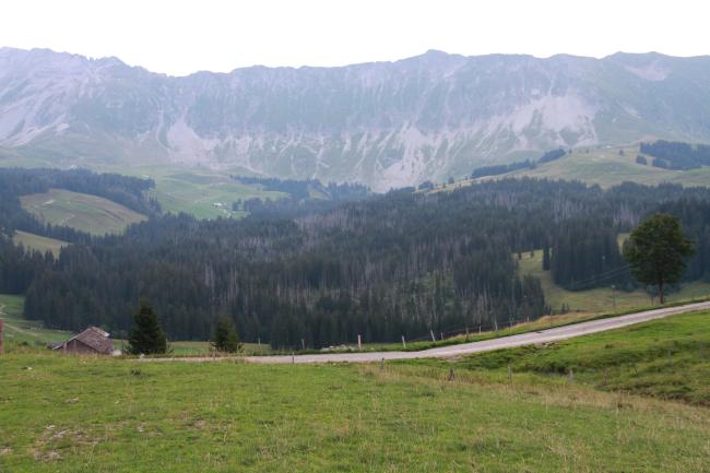
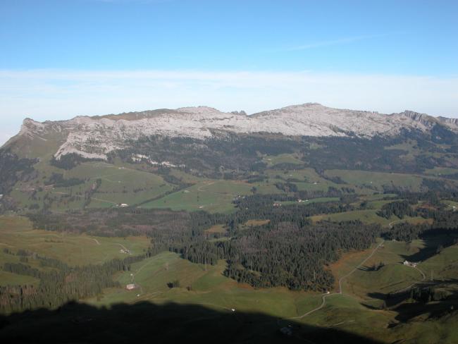
The Site is located on the northern slope of the Brienzer Rothorn mountain range, between 1,060 and 1,900 metres above sea level. The Site of almost 14 square kilometres is characterized by a mosaic of fens, several types of mountain swamp with low, transitional and raised bogs of national importance, as well as wet spruce forests and meadows. It is notable as the contiguous mire landscape with the highest number of bogs under protection in Switzerland. Laubersmad-Salwidili is home to 24 plant and 33 animal species listed on the Swiss red lists of endangered species, while three plant and 24 animal species are listed on the IUCN global red list. The presence of the three-toed woodpecker, the capercaillie, the black grouse and the lynx underlines the important role of the Site as a habitat for wild mammals and birds. In terms of ecosystem services, the Site plays an important role in water retention. Important bog restoration measures have been implemented since 2004. Human activities affecting the Site include cattle grazing and mountain recreational pursuits such as skiing, hiking, and mushroom and berry picking.
Administrative region:
Region: Central Switzerland / District: Entlebuch / Commune: Fluehli
Global international designation:
- UNESCO Biosphere Reserve
National legal designation:
- Cantonal Forest Reserve - Laubersmadghack (Object no.160_LU_17)
- Federal Hunting Reserve (1991, SR 922.31) - Tannhorn (Object no. 5)
- Federal Inventory of Mire Landscapes of Particular Beauty and National Importance (1996, SR 451.35) - Habkern/Sörenberg (Object no. 13)
- Federal Inventory of Raised Bogs and Transitional Mires of National Importance (1991, SR 451.32) - Salwidili (Object no. 313) / Zopf / Salwiden (Object no. 314) / Laubersmadghack (Object no. 315) / Tuernliwald (Object no. 316) / Gross Gfael (Object no. 317) / Husegg-Hurnischwand (Object no. 318) / Zopf (Object no. 362)
- Federal inventory of Fenlands of National Importance (1994, RS 451.33) - Salwiden (Object no. 3285) / Schwarzenegg / Steinetli (Object no. 3296) / Laubersmadghack / Baersel (Object no. 3297) / Arnibergli (Object no. 3357) / Schöniseischwand / Spierweid (Object no. 3359) / Schönisei / Harzisboden (Object no. 3360)
Last publication date:
29-03-2017
Ramsar Information Sheet (RIS)
- CH1444RIS_1703_en.pdf
- CH1444RISformer_141020.pdf
- CH1444_map1411.pdf
- CH1444_map161220.pdf
- CH1444_taxo161122.2 Macrofungis and Lichens Laubersmad_Salvidli.pdf
- CH1444_descr1501.pdf
- CH1444_descr15011.pdf
- CH1444_descr15013.pdf
- CH1444_descr15014.pdf
- CH1444_descr15012.pdf
- CH1444_mgt1509. 212c.pdf
Archived RIS
Site map
Additional reports and documents
Taxonomic lists of plant and animal species occurring in the site
A description of the site in a national or regional wetland inventory
Site management plan
Other published literature


