Embouchure de la Moulouya
Embouchure de la Moulouya
- Country:
- Morocco
- Site number:
- 1478
- Area:
- 2,340.0 ha
- Designation date:
- 15-01-2005
- Coordinates:
- 35°05'55"N 02°21'41"W
Carousel
CarouselMaterials presented on this website, particularly maps and territorial information, are as-is and as-available based on available data and do not imply the expression of any opinion whatsoever on the part of the Secretariat of the Ramsar Convention concerning the legal status of any country, territory, city or area, or of its authorities, or concerning the delimitation of its frontiers or boundaries.
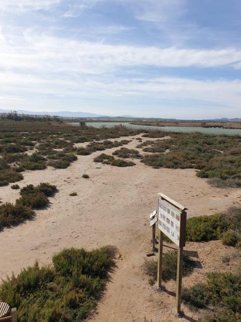
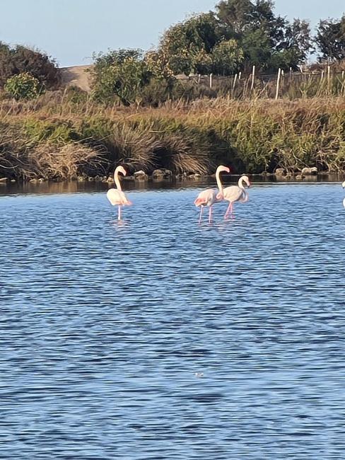
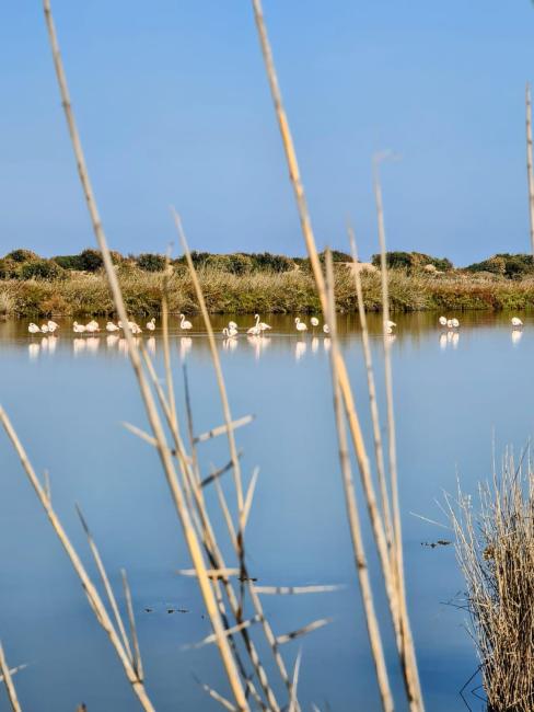
The Site is the estuary and floodplain complex of the Maghreb’s biggest Mediterranean river. It features diverse habitats, including estuarine, marine, lacustrine, riverine, and palustrine systems, along with a coastal dune belt. It is a crucial stopover for migratory birds crossing the region’s arid landscapes, offering refuge in its Tamarix-dominated vegetation. Its landscape includes six to seven kilometres of river channel bordered by alluvial Tamarix forests, semi-temporarily flooded salt marshes, and a marine strip extending 6 km offshore. Key species include Moussier’s redstart (Phoenicurus moussieri), marbled teal (Marmaronetta angustirostris), and Audouin’s gull (Ichthyaetus audouinii). The wetlands also support rare and endemic fish species, which use the estuary for spawning and nursery grounds during seasonal migrations. The estuary regulates water dynamics by storing floodwaters, which help reduce groundwater salinity. Nonetheless, its hydrology has changed significantly due to extreme floods over the past century. A now-abandoned aquaculture complex is also part of the Site. It is a very promising Site for ecotourism and conservation efforts. Despite its high ecological and aesthetic value, it faces pressures from habitat degradation caused by sand and gravel extraction, wetland conversion, and declining water quality from agricultural runoff, waste disposal, and reduced flood flows.
- MA1478RIS_2503_fr.pdf
- MA1478RISformer_180418.pdf
- MA1478_map230720.jpg
- MA1478_taxo161006.docx


