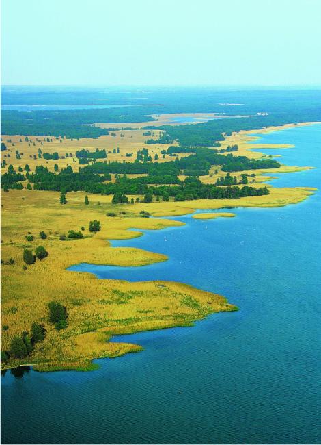
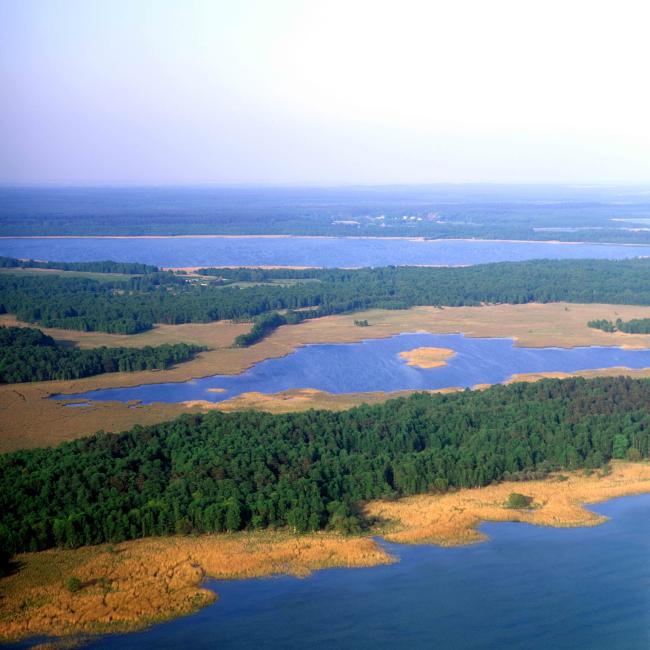
Eastern shore of Lake Müritz
Eastern shore of Lake Müritz
- Country:
- Germany
- Site number:
- 172
- Area:
- 4,974.0 ha
- Designation date:
- 31-07-1978
- Coordinates:
- 53°26'34"N 12°46'21"E
Carousel
CarouselMaterials presented on this website, particularly maps and territorial information, are as-is and as-available based on available data and do not imply the expression of any opinion whatsoever on the part of the Secretariat of the Ramsar Convention concerning the legal status of any country, territory, city or area, or of its authorities, or concerning the delimitation of its frontiers or boundaries.
The Site is a complex of lakes, of which some are artificially regulated; it also features marshes, reedbeds, peatland, pasture, woods, thickets and dry pine forest. About 20 % of the area is covered by lakes. The lakes are representative of mesotrophic to eutrophic lakes oringinating from the Vistula glacial stage in Mecklenburg-Western Pomerania. The area is an important resting site for various waterbirds and supports a rich marsh flora and diverse invertebrate fauna. Significant numbers of tufted duck (Aythya fuligula), common crane (Grus grus) and red-crested pochard (Netta rufina) are present. The area offers opportunities for research and educational activities. Several biotopes and species require management measures; succession and overgrowth because of insufficient or inappropriate management are potential threats.
- national park - Müritz Nationalpark
- EU Natura 2000
- DE172RIS_2310_en.pdf
- DE172RISformer_150210.pdf
- DE172_map210323.pdf
- DE172_mgt230731.pdf

