Estuaire du fleuve Sinnamary
Estuaire du fleuve Sinnamary
- Country:
- France (outre-mer)
- Site number:
- 1828
- Area:
- 28,400.0 ha
- Designation date:
- 15-09-2008
- Coordinates:
- 05°27'36"N 53°04'16"W
Carousel
CarouselMaterials presented on this website, particularly maps and territorial information, are as-is and as-available based on available data and do not imply the expression of any opinion whatsoever on the part of the Secretariat of the Ramsar Convention concerning the legal status of any country, territory, city or area, or of its authorities, or concerning the delimitation of its frontiers or boundaries.
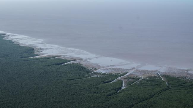
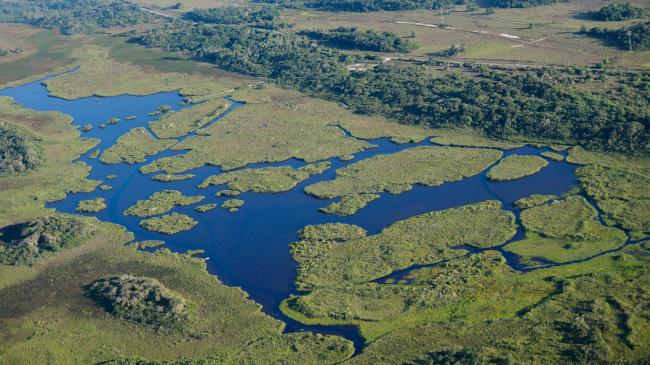
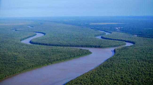
This wetland complex stretches for some forty kilometres along the shores of Sinnamary, a commune located along the coast of French Guiana. It represents a combination of intertidal mudflats, active sand flats, mangroves, freshwater swamps and seasonally flooded areas that extend towards the delta of the Sinnamary river. Its habitats provide home for some globally vulnerable mammals such as white-lipped peccary (Tayassu pecari), Brazilian tapir (Tapirus terrestris), giant anteater (Myrmecophaga tridactyla) and red-faced spider monkey (Ateles paniscus). The Site also acts as a nursery for various species of fish, including the Atlantic tarpon (Magalops atlanticus) which is important for coastal fishing. It also hosts more than 1% of the global populations of semipalmated sandpiper (Calidris pusilla) and yellow-billed tern (Sternula superciliaris). It is the preferred habitat for the vulnerable American manatee (Trichechus manatus) and serves as nesting and foraging area for the endangered green turtle (Chelonia mydas). The mangroves play an important role in coastal protection and as spawning grounds. The complex also hosts an important archeological site from the pre-Columbian era. Ecotourism activities such as canoeing in the marsh take place, while the Maison de la Nature welcomes visitors to its eco-museum, which is largely dedicated to wetlands, but also showcases local crafts. Poaching is still taking place despite the national regulations. Large-scale agricultural projects present a threat to the wetlands.
- Conservatoire du littoral
- FR1828RIS_2307_fr.pdf
- FR1828RISformer_170915.pdf
- FR1828map.pdf
- FR1828_mgt171107.pdf
- FR1828_mgt171107_1.pdf


