Rapides de Mboungou Badouma et de Doume
Rapides de Mboungou Badouma et de Doume
- Country:
- Gabon
- Site number:
- 1853
- Area:
- 53,883.0 ha
- Designation date:
- 02-02-2009
- Coordinates:
- 01°04'52"S 13°09'20"E
Carousel
CarouselMaterials presented on this website, particularly maps and territorial information, are as-is and as-available based on available data and do not imply the expression of any opinion whatsoever on the part of the Secretariat of the Ramsar Convention concerning the legal status of any country, territory, city or area, or of its authorities, or concerning the delimitation of its frontiers or boundaries.
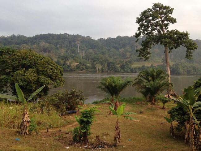
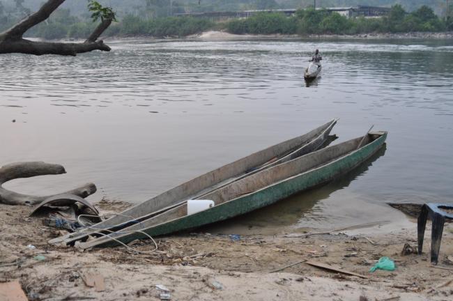
The Site is a system of permanent and intermittent rivers and permanent marshes along the course of the Ogooue River. Its 140 kilometres of rapids form part of a large hydrographical network, and act as a spillway for several rivers. The Site supports a vast array of fauna and flora. The existence of certain vegetation as a source of food, refuge, and habitat maintains the presence of certain animals: for example, the buffalo in the savannah and the gorilla in the forest. Some of the animal species, such as elephants, monkeys, tilapia and carp, are severely threatened by the over-exploitation of forest resources, pollution of the waters by effluents from the surrounding towns, and manganese and uranium mining activities. While there is currently no specific management plan, the Site is protected by a number of national environmental laws and regulations.
Administrative region:
Haut Ogooué/l'Ogooué Lolo
Last publication date:
28-03-2017
Ramsar Information Sheet (RIS)
- GA1853RIS_1703_fr.pdf
- GA1853RISformer_160316.pdf
- GA1853map2009.pdf
- GA1853_map1606.pdf
Archived RIS
Site map
Additional reports and documents
Other published literature


