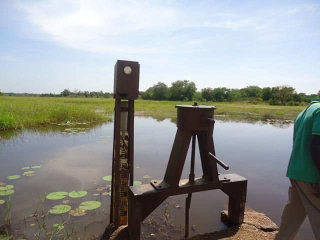
Forêt Galerie de Léra
Forêt Galerie de Léra
- Country:
- Burkina Faso
- Site number:
- 1879
- Area:
- 542.0 ha
- Designation date:
- 07-10-2009
- Coordinates:
- 10°35'52"N 05°18'19"W
Carousel
CarouselMaterials presented on this website, particularly maps and territorial information, are as-is and as-available based on available data and do not imply the expression of any opinion whatsoever on the part of the Secretariat of the Ramsar Convention concerning the legal status of any country, territory, city or area, or of its authorities, or concerning the delimitation of its frontiers or boundaries.
The Site, located in the Comoé river basin, consists of a seasonal river as well as a gallery forest comprising semi-deciduous and deciduous trees that form periodically flooded wildlife corridors. The Site is home to Cola cordifolia and Elaeis guineensis, and the noteworthy orchid Nervilia umbrosa. Nationally protected animal species include the Nile crocodile and the kob antelope. Large colonies of bats colonize the undersides of the highest leaves. As well as maintaining biological diversity, the Site is also important for groundwater replenishment, control of flooding, stabilization of the microclimate, and storm protection. Thanks to these services, the local communities are able to farm cashew nuts and other crops. They have banned hunting and grazing, but threats such as siltation due to activities being carried out upstream on the Leraba tributary, local population growth and poaching still affect the Site. The Site does not have a management plan but the local communities consider it as a forest village which is therefore subject to other conservation measures.
Administrative region:
Cascades
Last publication date:
27-04-2017
Ramsar Information Sheet (RIS)
- BF1879RIS_1704_fr.pdf
- BF1879RISformer_161203.pdf
- BF1879map2009.pdf
Archived RIS
Site map
Additional reports and documents
Other published literature


