Agusalu
Agusalu
- Country:
- Estonia
- Site number:
- 1999
- Area:
- 11,000.0 ha
- Designation date:
- 27-01-2010
- Coordinates:
- 59°04'30"N 27°33'03"E
Carousel
CarouselMaterials presented on this website, particularly maps and territorial information, are as-is and as-available based on available data and do not imply the expression of any opinion whatsoever on the part of the Secretariat of the Ramsar Convention concerning the legal status of any country, territory, city or area, or of its authorities, or concerning the delimitation of its frontiers or boundaries.
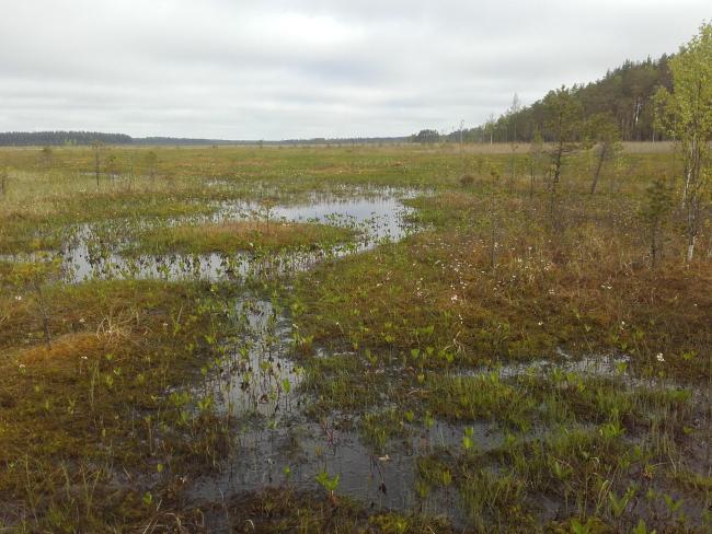
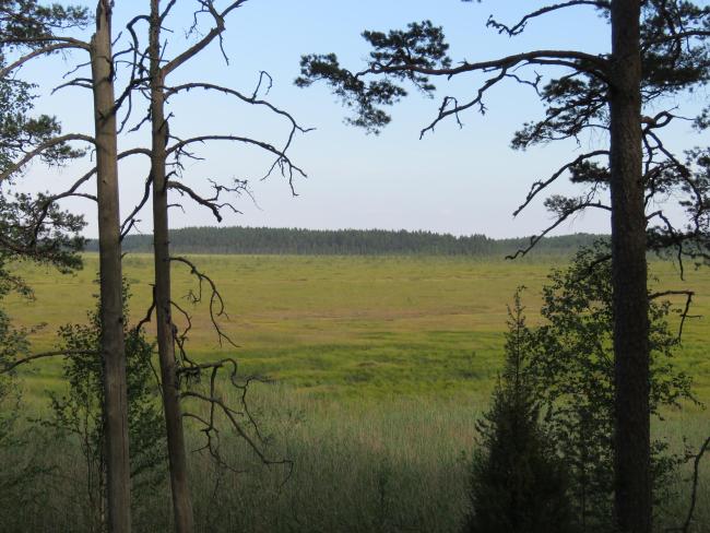
Part of Estonia’s largest mire system Agusalu-Puhatu, the wetland consists of bogs, transition mires and fens surrounded by coniferous and alluvial forest. The wetland has a characteristic striped landscape as it contains several strips of sandy hills, locally named ‘’kriivas’’, which form forest and bog islands that stand out from the mire. Agusalu is important for maintaining the biodiversity of the biogeographical region thanks to its varied habitats. The area provides important breeding grounds for several threatened bird species, such as Eurasian black grouse (Lyrurus tetrix), willow grouse (Lagopus lagopus) and Arctic loon (Gavia arctica). It is also an important refuge for species with large habitat requirements such as brown bear (Ursus arctos), grey wolf (Canis lupus), moose (Alces alces), Eurasian otter (Lutra lutra) and Eurasian lynx (Lynx lynx). Due to its management and protection regime the area is not frequented, but intensification of forestry and drainage activities in the surrounding areas present threats.
- National Park - Alutaguse
- EU Natura 2000
- EE1999RIS_2005_en.pdf
- EE1999RISformer_191119.pdf
- EE1999_map191223.pdf
- EE1999_mgt200115.pdf


