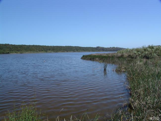
Merja Sidi Boughaba
Merja Sidi Boughaba
- Country:
- Morocco
- Site number:
- 207
- Area:
- 650.0 ha
- Designation date:
- 20-06-1980
- Coordinates:
- 34°14'09"N 06°40'39"W
Carousel
CarouselMaterials presented on this website, particularly maps and territorial information, are as-is and as-available based on available data and do not imply the expression of any opinion whatsoever on the part of the Secretariat of the Ramsar Convention concerning the legal status of any country, territory, city or area, or of its authorities, or concerning the delimitation of its frontiers or boundaries.
Merja Sidi Boughaba is a coastal wetland featuring a permanent brackish and freshwater lagoon surrounded by emergent vegetation. It is fed by groundwater and separated from the Atlantic Ocean by a stabilised dune system covered with Mediterranean scrub. The site supports diverse aquatic life, including a rich phytoplankton and algal flora, and sustains traditional fishing practices. It is an important breeding and staging ground for waterbirds, including the globally near-threatened marbled teal (Marmaronetta angustirostris). The wetland also serves as a centre for conservation education through its eco-museum. However, it faces challenges such as habitat degradation and water pollution. Conservation efforts focus on maintaining its ecological integrity while maintaining sustainable use.
- Biological Reserve
- Permanent Hunting Reserve
- MA207RIS_2503_fr.pdf


