Lang Sen Wetland Reserve
Lang Sen Wetland Reserve
- Country:
- Viet Nam
- Site number:
- 2227
- Area:
- 4,802.0 ha
- Designation date:
- 22-05-2015
- Coordinates:
- 10°46'46"N 105°44'19"E
Carousel
CarouselMaterials presented on this website, particularly maps and territorial information, are as-is and as-available based on available data and do not imply the expression of any opinion whatsoever on the part of the Secretariat of the Ramsar Convention concerning the legal status of any country, territory, city or area, or of its authorities, or concerning the delimitation of its frontiers or boundaries.
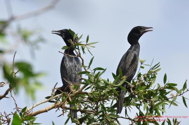
Lang Sen Wetland Reserve is a wetland complex in the “Plain of Reeds” of the Mekong Delta, which comprises a mosaic of seasonally flooded grassland, open swamp, and riverine Melaleuca and mixed forests. The Site supports the best sample of natural riverine forests in the Mekong Delta, and provides habitat for a wide diversity of waterbirds and fish species. It regularly supports more than 20,000 waterbird individuals in the dry season, including globally threatened species such as the endangered greater adjutant (Leptoptilos dubius) and the vulnerable sarus crane (Grus antigone). The Site also hosts globally vulnerable reptiles such as the Indochinese spitting cobra (Naja siamensis) and Southeast Asian softshell turtle (Cuora amboinensis). 27 of 87 fish species recorded in Lang Sen live only in the lower Mekong Basin; these include the critically endangered Mekong giant catfish (Pangasianodon gigas) and giant barb (Catlocarpio siamensis). According to a 1969 map, Lang Sen Wetland Reserve then covered around 10,000 hectares. With its current area of 4,802 hectares, the Site is the second largest remaining area of the Plain of Reeds. Local communities have long exploited Lang Sen Wetland Reserve; most of it is divided into small agro-forestry production patches, some managed by local households, and others by state bodies.
Administrative region:
Long An Province
National legal designation:
- Nature Reserve - Lang Sen
Last publication date:
22-05-2015
Ramsar Information Sheet (RIS)
- VN2227RIS_1505_en.pdf
- VN2227_map1503.12.JPG
- VN2227_taxo1504.docx
Site map
Additional reports and documents
Taxonomic lists of plant and animal species occurring in the site
Other published literature


