Marais Vernier et Vallée de la Risle maritime
Marais Vernier et Vallée de la Risle maritime
- Country:
- France
- Site number:
- 2247
- Area:
- 9,564.5 ha
- Designation date:
- 18-12-2015
- Coordinates:
- 49°25'52"N 00°28'40"E
Carousel
CarouselMaterials presented on this website, particularly maps and territorial information, are as-is and as-available based on available data and do not imply the expression of any opinion whatsoever on the part of the Secretariat of the Ramsar Convention concerning the legal status of any country, territory, city or area, or of its authorities, or concerning the delimitation of its frontiers or boundaries.
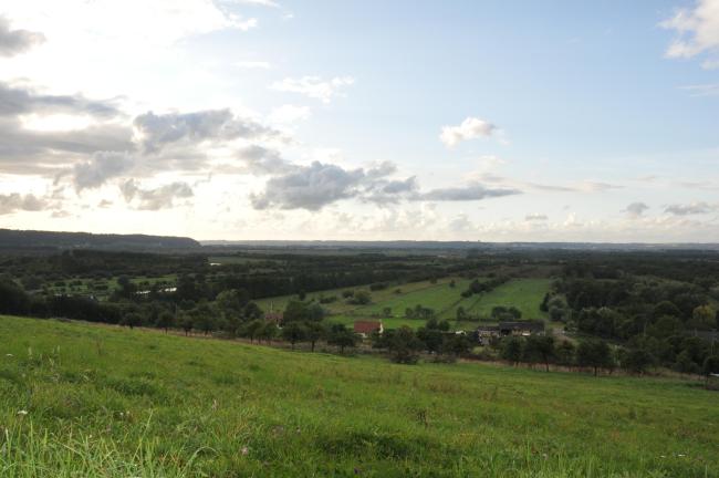
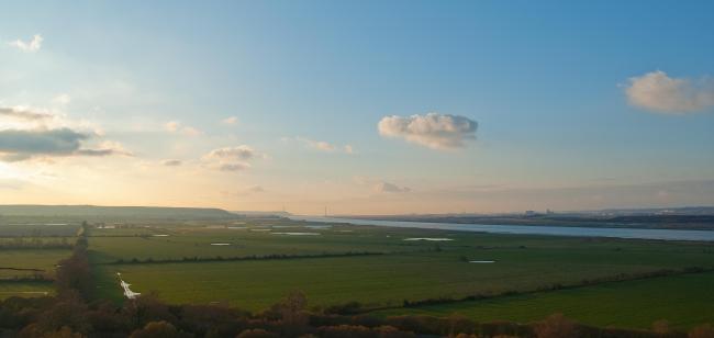
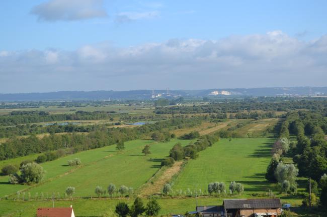
The Site is a large estuarine complex of alluvial marshes, mudflats, estuarine waters, rivers, peatlands, and a network of ditches and open water bodies which converge into the Grand’Mare natural pond. Marais Vernier, a former meander of the Seine River, holds the largest peat deposit in France. The Risle coastal river is a transition zone between saline and fresh water, which supports intertidal habitats of great importance for fish. The Site as a whole regroups 43 species of fish, of which 32 are indigenous, and provides important migratory paths or reproductive grounds for a number of species including the globally endangered European eel (Anguilla anguilla), the northern pike (Esox lucius) and the lamprey (Lampetra fluviatilis). The wetland provides wintering grounds for several species of waterbirds including large numbers of European golden plover (Pluvialis apricaria) and northern lapwing (Vanellus vanellus). Human activities are focused on agriculture, hunting and fishing. The Site holds important social and cultural values associated with a history of wetland-related traditional practices which maintain this mosaic of habitats and the associated biodiversity. Cottages on the Site showcase the traditional use of reeds for thatching. The main threats to the Site relate to drainage in Marais Vernier, and the poplar tree plantations, roads, and utility and service lines crossing the Site. A management plan is in place for the Natura 2000 Site, which covers the whole Ramsar Site area.
Administrative region:
Région Haute-Normandie, département de l'Eure (27), France
National legal designation:
- Arrêté de Protection de Biotope - Arrêté préfectoral de Protection de Biotope de la Grotte de la Grande Vallée
- Arrêtésde Protection de Biotope (2) - Arrêté préfectoral de Protection de Biotope des litières de Quillebeuf
- Espace Naturel Sensible - Espace Naturel Sensible Les marais de la Risle maritime
- Espace Naturel Sensible (2) - Espace Naturel Sensible Les courtils
- Espace Naturel Sensible (3) - Espace Naturel Sensible Les mares de Conteville
- Espace Naturel Sensible (4) - Espace Naturel Sensible des Etangs de Pont-Audemer
- Réserve Naturelle Nationale - Réserve Naturelle de l’Estuaire de la Seine
- Réserve Naturelle Nationale (2) - Réserve Naturelle du Marais Vernier
- Réserve Naturelle Volontaire - Réserve Naturelle Volontaire des Courtils de Bouquelon
- Réserve de Chasse et de Faune Sauvage - Réserve de Chasse et de Faune Sauvage de la Grand’Mare
- Réserve de Chasse et de Faune Sauvage (2) - Réserve de Chasse et de Faune Sauvage de la Ferme modèle
- Site inscrit - Site inscrit du Marais Vernier et de la Basse vallée de la Risle
- Territoire du Parc naturel régional des Boucles de la Seine Normande - Parc naturel régional des Boucles de la Seine Normande
Regional (international) legal designations:
- EU Natura 2000
- Other international designation
Last publication date:
18-12-2015
Ramsar Information Sheet (RIS)
- FR2247RIS_1512_fr.pdf
- FR2247_map1510.2015.JPG
- FR2247_ECD1505.pdf
- FR2247_mgt1504.pdf
- FR2247_mgt15041.pdf
- FR2247_mgt15042.pdf
Site map
Additional reports and documents
A detailed Ecological Character Description (ECD)
Site management plan
Other published literature


