Sim Maiakiv Floodplain
Sim Maiakiv Floodplain
- Country:
- Ukraine
- Site number:
- 2273
- Area:
- 2,140.0 ha
- Designation date:
- 24-12-2013
- Coordinates:
- 47°26'17"N 35°02'41"E
Carousel
CarouselMaterials presented on this website, particularly maps and territorial information, are as-is and as-available based on available data and do not imply the expression of any opinion whatsoever on the part of the Secretariat of the Ramsar Convention concerning the legal status of any country, territory, city or area, or of its authorities, or concerning the delimitation of its frontiers or boundaries.
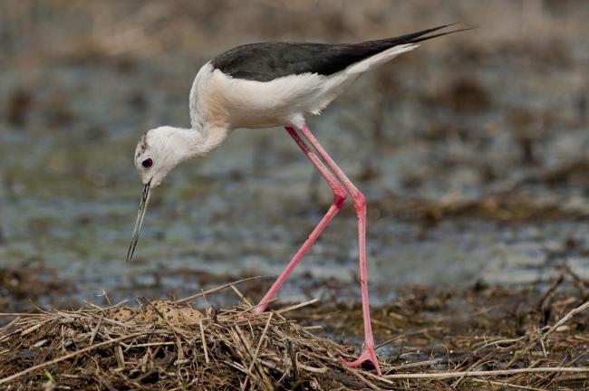
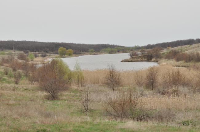
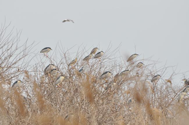
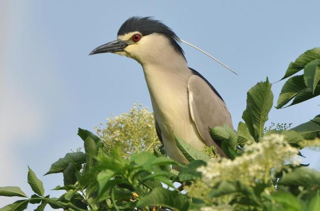
Located on the lower Dnipro (Dnieper) River, the Site is composed of a unique karst system which is atypical of southern Ukraine and its flat steppe areas. A deep tertiary river channel with a small steppe river forms a unique complex of floodplain forests, wet meadows and reed beds where it meets the Kakhovka reservoir. The wetland constitutes a unique refugium for biodiversity in the steppe region: 137 species of birds, 24 species of mammals, 47 of fish, 690 of insects and 326 species of plants have been recorded at the Site. The Site is on one of Eastern Europe’s largest transcontinental migration routes and provides important nesting as well as foraging grounds for many waterbirds. The karst system is important for groundwater recharge and discharge, for the provision of fresh drinking water for the local population. The livestock and agricultural practices in the surrounding areas depend upon the stability and quality of water from the reservoir and the steppe river. The Site is one of the few places in the lower Dnipro region where traditional basket weaving is preserved. The main threats to the ecological character of the Site relate to drainage, agriculture and housing and urban areas. The management plan of the “Velykyi Luh” National Nature Park covers all of the Ramsar Site.
Administrative region:
Zaporizhska Oblast
National legal designation:
- National Nature Park - Velykyi Luh
Last publication date:
23-11-2016
Ramsar Information Sheet (RIS)
- UA2273RIS_1611_en.pdf
Site map


