Iles Barren
Iles Barren
- Country:
- Madagascar
- Site number:
- 2303
- Area:
- 463,200.0 ha
- Designation date:
- 22-05-2017
- Coordinates:
- 18°16'05"S 43°46'47"E
Carousel
CarouselMaterials presented on this website, particularly maps and territorial information, are as-is and as-available based on available data and do not imply the expression of any opinion whatsoever on the part of the Secretariat of the Ramsar Convention concerning the legal status of any country, territory, city or area, or of its authorities, or concerning the delimitation of its frontiers or boundaries.
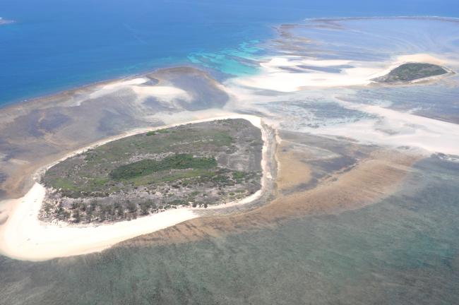
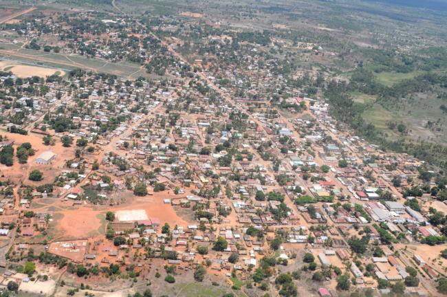
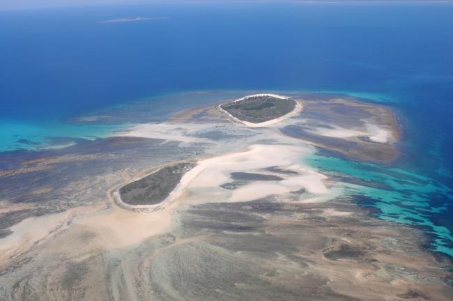
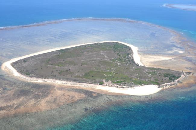
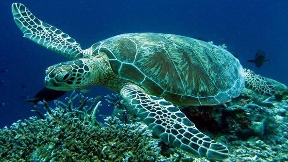
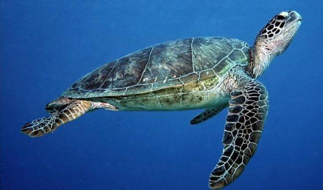
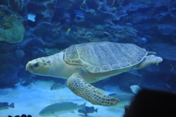
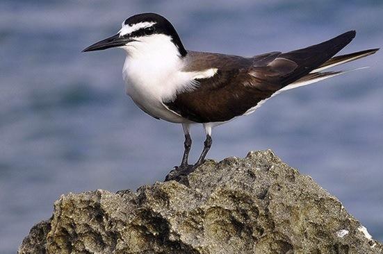
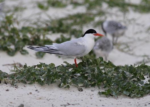
The Barren archipelago extends between 15 and 65 kilometres south-west of the town of Maintirano in the Mozambique Channel, less than 500 km from the East African coast. It is composed of a large reef complex, extensive areas of sea grass beds, mangrove forests, estuarine marshes, coastal dunes and dense semi-humid forests. The wide range of preserved, healthy and productive habitats supports exceptionally rich ecosystems, which include 39 coral genera and 150 species of fish. The site is home to five threatened bird species such as the critically endangered Haliaeetus vociferoides and the endangered Arena humbloti and Anas bernieri. There are also five species of threatened sea turtles, eight threatened shark species, the critically endangered coelacanth Latimeria chalumnae, 13 species of dolphins, and the vulnerable dugong as well as several species of whales and rays. A new model of fisheries management promoting the human rights and protecting the fishing zones of a community of more than 4,000 traditional fishermen on the Site has been developed by Blue Ventures.
Administrative region:
Districts de Maintirano et d’Antsalova dans la Région Melaky
National legal designation:
- Protection temporaire - Région de Melaky
Last publication date:
29-05-2017
Ramsar Information Sheet (RIS)
- MG2303RIS_1705_fr.pdf
- MG2303_map170331.pdf
- MG2303_map170508.pdf
- MG2303_taxo170330.pdf
Site map
Additional reports and documents
Taxonomic lists of plant and animal species occurring in the site
Other published literature
