Sombrero Island Nature Reserve Marine Park
Sombrero Island Nature Reserve Marine Park
- Country:
- United Kingdom of Great Britain and Northern Ireland (Overseas territories)
- Site number:
- 2354
- Area:
- 1,050.7 ha
- Designation date:
- 22-05-2018
- Coordinates:
- 18°35'11"N 63°25'35"W
Carousel
CarouselMaterials presented on this website, particularly maps and territorial information, are as-is and as-available based on available data and do not imply the expression of any opinion whatsoever on the part of the Secretariat of the Ramsar Convention concerning the legal status of any country, territory, city or area, or of its authorities, or concerning the delimitation of its frontiers or boundaries.
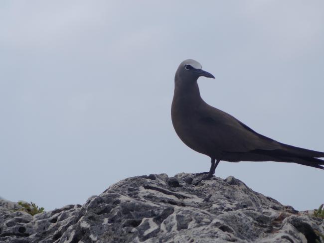
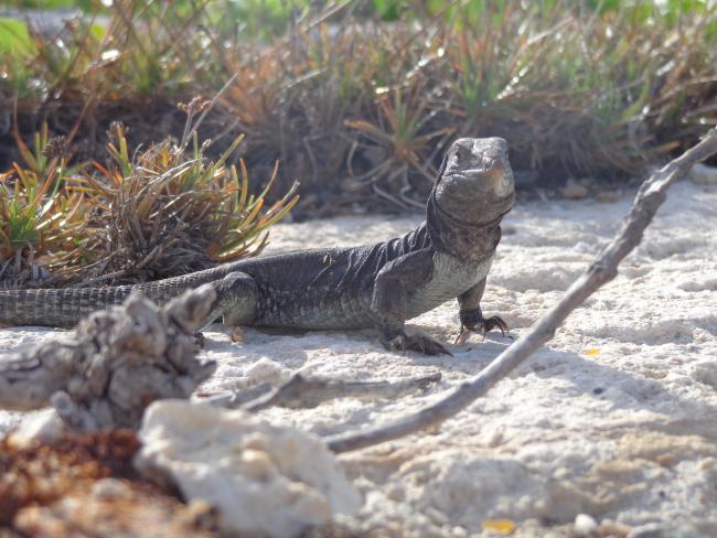
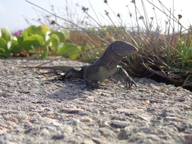
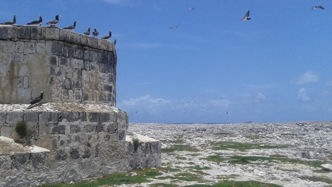
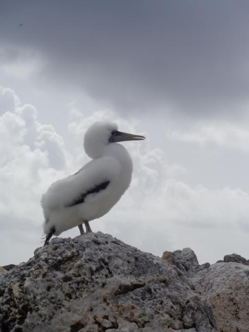
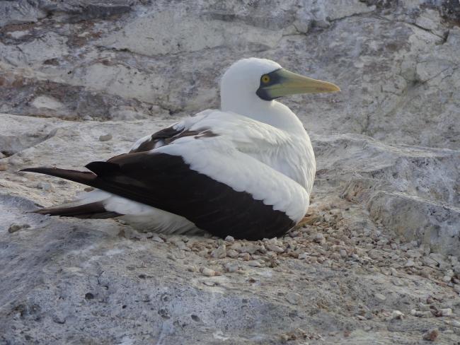
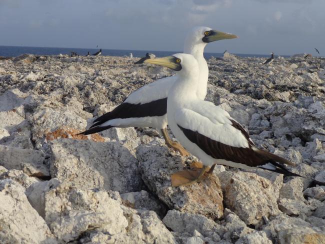
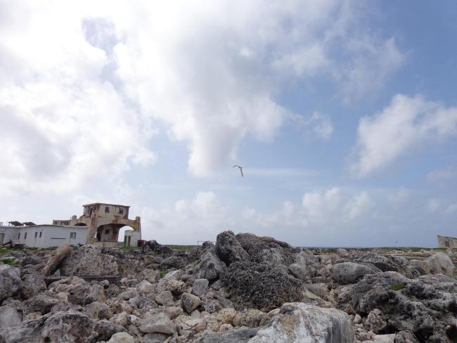
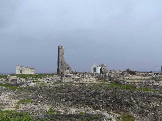
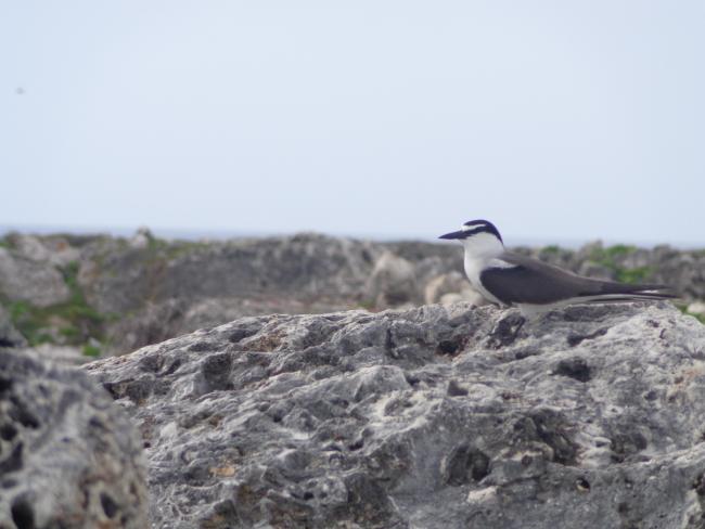
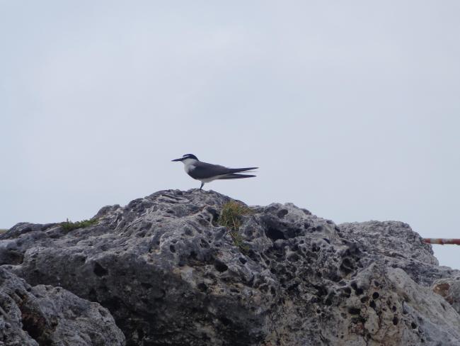
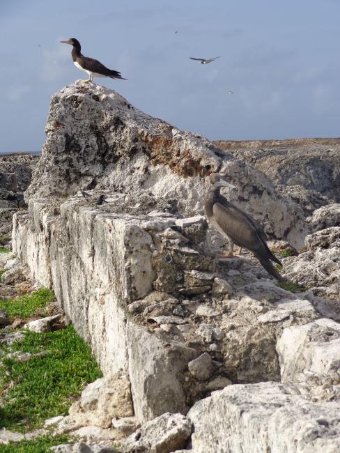
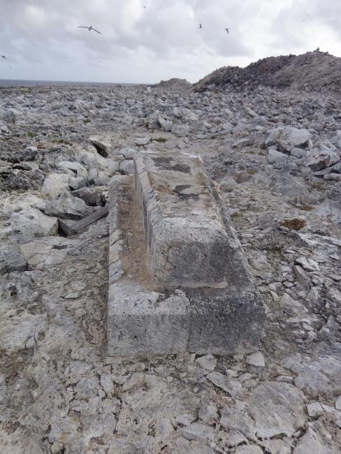
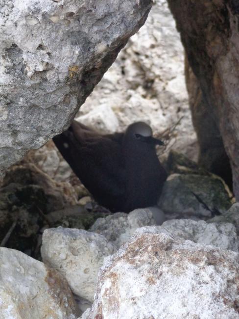
The Site is a small, uninhabited, flat-topped, rocky oceanic island. It is characterized by karst topography, limestone sea cliffs and sparse vegetation. Historical phosphate mining has left an array of craters and rubble across the island. The island is rich in biodiversity: it supports the endemic critically endangered Sombrero Island ground lizard (Pholidoscelis Corvinus) and the Sombrero Island dwarf gecko (Sphaerodactylus sp.), as well as over 40 endemic species of insects have been recorded. It is also acts as an important breeding site for various seabird species, including internationally or regionally important populations of bridled tern (Onychoprion anaethetus), brown booby (Sula leucogaster), brown noddy (Anous stolidlus) and masked booby (Sula dactylatra). Other breeding birds include sooty tern (Onychoprion fuscata) and laughing gull (Leucophaeus atricilla). The island acts as a refuge during hurricanes and storms, as well as for migrating birds during spring and autumn. The surrounding waters within a 2,000-yard radius are also included in the Ramsar Site; they support areas of coral reef, submerged Sargassum and large seaweed beds, and deeper marine water. They are used for foraging by the Endangered Green turtle (Chelonia mydas). Sombrero Island is currently being used for scientific research and monitoring on fauna and flora recovery and the impacts of climate change, especially following the successful eradication of house mice (Mus musculus) in 2021. Vegetation restoration is ongoing. A management plan has been developed that covers both the Ramsar Site and surrounding Sombrero Island Nature Reserve Marine Park. In addition, the Anguilla National Trust has initiated a public awareness campaign to highlight the unique biodiversity of the island and its cultural connections.
- Nature Reserve Marine Park - Sombrero Island Nature Reserve Marine Park
- GB2354RIS_2312_en.pdf
- GB2354RISformer_220302_1809_en.pdf
- GB2354_map180405.jpg
- GB2354_map180405_1.jpg
- GB2354_descr16031.pdf
- GB2354_descr180405.docx
- GB2354_descr180531.doc


