Pohorilets River Headwaters
Pohorilets River Headwaters
- Country:
- Ukraine
- Site number:
- 2397
- Area:
- 1,624.6 ha
- Designation date:
- 20-03-2019
- Coordinates:
- 48°02'43"N 24°39'35"E
Carousel
CarouselMaterials presented on this website, particularly maps and territorial information, are as-is and as-available based on available data and do not imply the expression of any opinion whatsoever on the part of the Secretariat of the Ramsar Convention concerning the legal status of any country, territory, city or area, or of its authorities, or concerning the delimitation of its frontiers or boundaries.
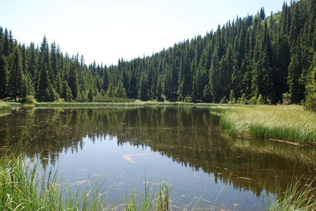
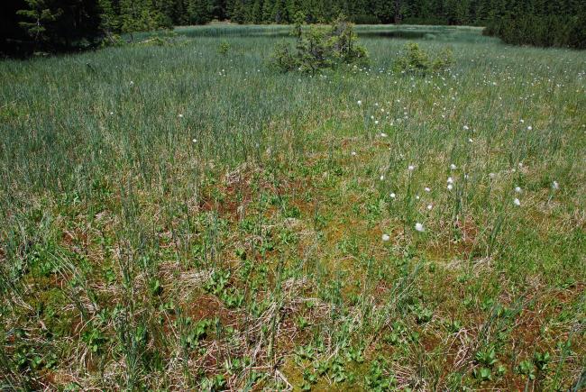
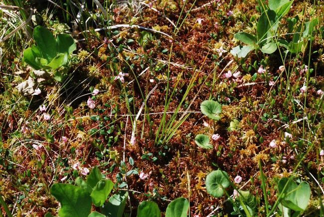
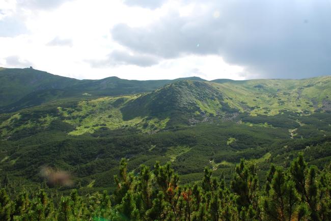
The Site consists of a network of streams, brooks, bogs and lakes in the upper basin of the Pohorilets River, close to the Chornohora mountain range in the Ukrainian Carpathians. The Site is a biodiversity hotspot, with 500 vascular plant species and 90 vertebrate species found within its boundaries. Many of them are listed as threatened in the national and global Red Lists, and a great number are endemic to the Eastern Carpathian biogeographic region. The Site is especially important for the critically endangered European mink, as one of its last habitats in the area. It acts as a large reservoir during heavy rains or periods of snow melt, significantly reducing the risk of severe downstream floods. It is also a valuable source of drinking water for at least 1,000 inhabitants of the region. Because it is part of the Carpathian National Nature Park, the Site has legal protection ensuring the control of the use of natural resources. The main threat is the impact of recreation activities: it is one of the most popular areas of the Ukrainian Carpathians, and several thematic ecological routes can be found.
- National Nature Park - Carpathians


