Marais d'Harchies
Marais d'Harchies
- Country:
- Belgium
- Site number:
- 331
- Area:
- 557.1 ha
- Designation date:
- 04-03-1986
- Coordinates:
- 50°27'43"N 03°40'49"E
Carousel
CarouselMaterials presented on this website, particularly maps and territorial information, are as-is and as-available based on available data and do not imply the expression of any opinion whatsoever on the part of the Secretariat of the Ramsar Convention concerning the legal status of any country, territory, city or area, or of its authorities, or concerning the delimitation of its frontiers or boundaries.
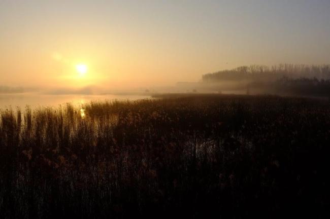
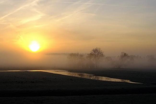
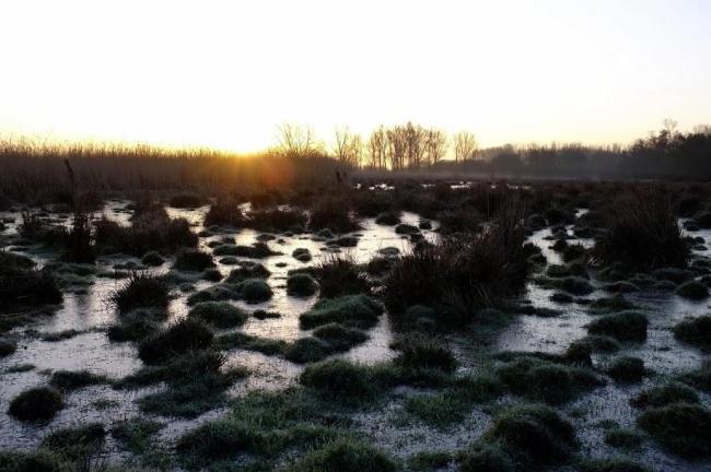
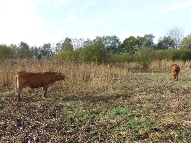
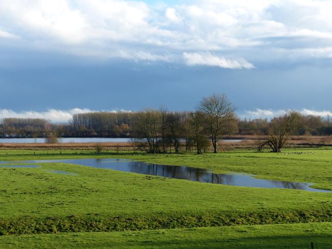
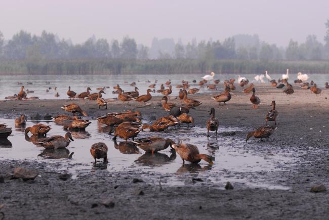
The Site is a complex of wet grasslands, ponds and marshes fringed by reedbeds and fed by rainfall and groundwater. It supports a varied flora including several notable species, as well as a diversity of breeding and regionally endangered birds such as the common snipe Gallinago gallinago and the common little bittern Ixobrychus minutus. Wintering and passage waterbirds include cormorants, swans, geese, ducks, shorebirds and terns. The main threats to the ecological character of the Site are posed by intensive agriculture, recreation activities such as moto-cross and hunting, and colonization by invasive species.
Administrative region:
Région wallonne, province du Hainaut
National legal designation:
- nature reserve
Regional (international) legal designations:
- EU Natura 2000
Last publication date:
29-01-2015
Ramsar Information Sheet (RIS)
- BE331RIS_1501_fr.pdf
- BE331RISformer1992_FR.pdf
- BE331RISformer_141103.pdf
- BE331RISformer1992_EN.pdf
- BE331_map14111.pdf
- BE331_taxo1411.pdf
Archived RIS
Site map
Additional reports and documents
Taxonomic lists of plant and animal species occurring in the site
Other published literature
