Camargue
Camargue
- Country:
- France
- Site number:
- 346
- Area:
- 100,788.0 ha
- Designation date:
- 01-12-1986
- Coordinates:
- 43°30'17"N 04°35'23"E
Carousel
CarouselMaterials presented on this website, particularly maps and territorial information, are as-is and as-available based on available data and do not imply the expression of any opinion whatsoever on the part of the Secretariat of the Ramsar Convention concerning the legal status of any country, territory, city or area, or of its authorities, or concerning the delimitation of its frontiers or boundaries.
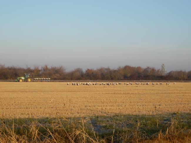
The Site represents a group of wetlands characteristic of the Mediterranean coastline. Its habitats are large spatial units covering several thousand hectares. The Camargue is renowned for its birds, and boasts just over half of the species found in France, including ten species of heron (ardeidae), 27 ducks and geese (anatidae), 31 waders, 15 gulls and terns (laridae), and 28 other birds. A total of 356 bird species use the area, including more than 250 waterfowl (75% of the waterfowl species recorded in France). Camargue is home to a large population of European pond terrapin (Emys orbicularis), the only remaining core population on the Mediterranean coast and in France. As the wetlands in the Camargue are directly or indirectly linked to anthropogenic water management, particularly for agriculture, changes in practices linked to socio-economic issues are bound to have an impact, often negative, on their conservation status and management. Other human activities include tourism, hunting and fishing.
- UNESCO Biosphere Reserve
- Parc naturel régional - Parc naturel régional de Camargue
- Reserve Naturelle Nationale - Marais du Vigueirat
- Réserve Naturelle Nationale - Réserve Nationale de Camargue
- Réserve naturelle régionale - domaine de la Tour du Valat
- Site naturel protégé - domaine de la Palissade
- Site naturel protégé - domaine des étangs et marais des salins de Camargue
- Site naturel protégé - domaine départemental des étangs de Camargue
- Zone de protection de biotope APPB - Pointe de Beauduc
- EU Natura 2000
- FR346RIS_2307_fr.pdf
- FR346RISformer1995_EN.pdf
- FR346RISformer_171109.pdf
- FR346_map230120.png


