Knockmoyle/Sheskin
Knockmoyle/Sheskin
- Country:
- Ireland
- Site number:
- 372
- Area:
- 1,198.0 ha
- Designation date:
- 01-06-1987
- Coordinates:
- 54°10'46"N 09°33'11"W
Carousel
CarouselMaterials presented on this website, particularly maps and territorial information, are as-is and as-available based on available data and do not imply the expression of any opinion whatsoever on the part of the Secretariat of the Ramsar Convention concerning the legal status of any country, territory, city or area, or of its authorities, or concerning the delimitation of its frontiers or boundaries.
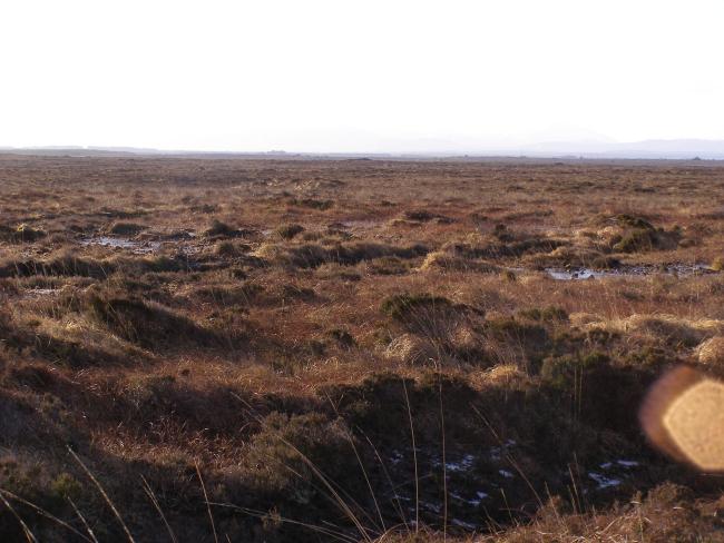
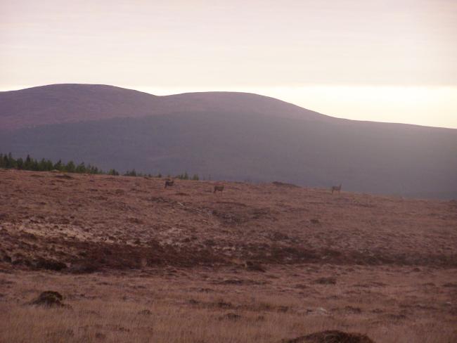
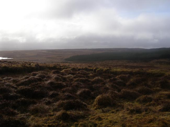
The Site is part of an extensive area of lowland blanket bog with a remarkably dense network of pools and small acidic lakes. The peat is relatively dry between the water bodies and has a well-developed cover, and the Site is rich in flora owing to an absence of burning and grazing. Boreal relict mosses, liverworts and the rare marsh saxifrage (Saxifraga hirculus) are characteristic. Willow ptarmigan (Lagopus lagopus) depend on the Site’s heather for feeding, while the golden plover (Pluvialis apricaria) benefits from the open blanket bogs with pool systems as feeding grounds. Habitat loss in the surrounding area, drainage and the hydrological changes associated with activities such as afforestation and peat extraction affect the condition of the blanket bog and its ability to retain water. The boundaries of the Site were defined using the boundaries of the Knockmoyle/Sheskin Nature Reserve which was designated in 1986 and enlarged in 1990.
- National Nature Reserve - Knockmoyle Sheskin Nature Reserve
- EU Natura 2000
- IE372RIS_2207_en.pdf


