Utonai-ko
Utonai-ko
- Country:
- Japan
- Site number:
- 539
- Area:
- 510.0 ha
- Designation date:
- 12-12-1991
- Coordinates:
- 42°41'52"N 141°42'41"E
Carousel
CarouselMaterials presented on this website, particularly maps and territorial information, are as-is and as-available based on available data and do not imply the expression of any opinion whatsoever on the part of the Secretariat of the Ramsar Convention concerning the legal status of any country, territory, city or area, or of its authorities, or concerning the delimitation of its frontiers or boundaries.
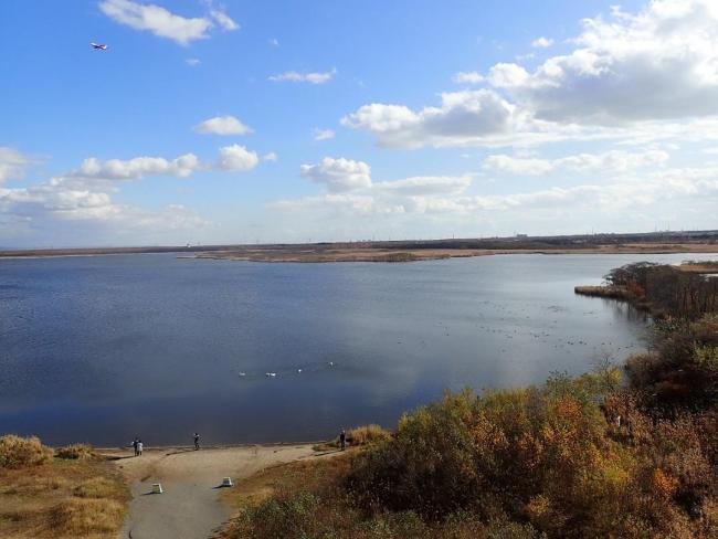
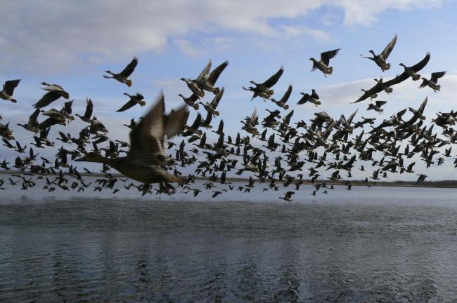
The Site is a shallow freshwater lake with marshes and small rivers, located on the island of Hakkaido. It has been designated nationally as a Special Protection Zone within the Utonai-ko National Wildlife Protection Area and is globally listed as an Important Bird and Biodiversity Area. The lake is dominated by common reeds, while its surroundings are covered by dense grasslands and woodlands mainly composed of the Japanese alder (Alnus japonica) and Mongolian oak (Quercus crispula). These habitats provide important breeding grounds for threatened species such as white-tailed eagle (Haliaeetus albicilla) and red-crowned crane (Grus japonensis). Some 56,000 waterbirds of 270 species have been regularly recorded at this Site every year, including birds that migrate along the East Asian-Australasian Flyway. There is a bird sanctuary and a conservation centre within the Site. Land conversion and logging activities have been prohibited and a sluice gate has been installed to maintain the water level of the lake.
- Special Protection Area of National Wildlife Protection Area - Utonai-ko Special Protection Area within Utonai-ko National Wildlife Protection Area
- Other international designation
- JP539RIS_2401_en.pdf
- JP539RISformer_190918.pdf


