Grand Cul-de-Sac Marin de la Guadeloupe
Grand Cul-de-Sac Marin de la Guadeloupe
- Country:
- France (outre-mer)
- Site number:
- 642
- Area:
- 29,500.0 ha
- Designation date:
- 08-12-1993
- Coordinates:
- 16°20'45"N 61°37'02"W
Carousel
CarouselMaterials presented on this website, particularly maps and territorial information, are as-is and as-available based on available data and do not imply the expression of any opinion whatsoever on the part of the Secretariat of the Ramsar Convention concerning the legal status of any country, territory, city or area, or of its authorities, or concerning the delimitation of its frontiers or boundaries.
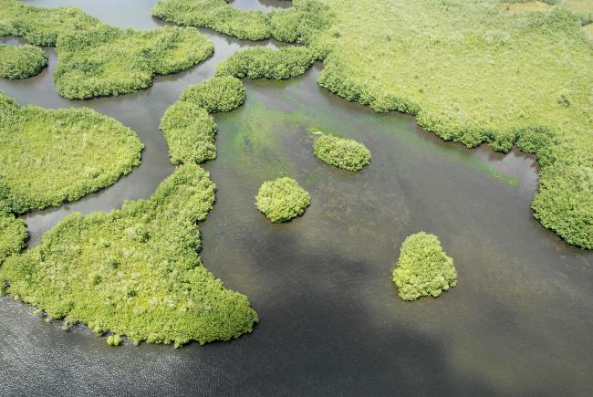
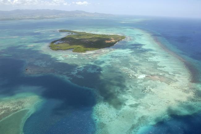
The Site consists of coastal wetland ecosystems including brackish mangrove forests, freshwater swamp forests and wet marshes and meadows. The freshwater swamp forests are backed by marine phanerogam meadows and coral reefs, which feature the critically endangered staghorn coral (Acropora cervicornis). Some other threatened species are Guadeloupe big-eyed bat (Chiroderma improvisum) and green turtle (Chelonia mydas), both listed as globally endangered. 49 migrant bird species pass through the Site on their way to wintering grounds in South America, such as the brown pelican (Pelecanus occidentalis). Two endemic birds are found in the Site: the plumbeous warbler (Setophaga plumbea) and the Guadeloupe woodpecker (Melanerpes herminieri). 261 species of fish have been recorded, out of a total of 600 in the Caribbean. 14% of the species surveyed live in the mangroves on a sedentary basis, whereas 86% are of reef or pelagic origin and only stay there temporarily. The mangroves help to fix sediment, purify water, and contribute to coastal stability in the event of cyclonic swells or tsunamis. Human uses include traditional small-scale arable farming and fishing in mangrove areas, as well as tourism. Threats to the area include mangrove and coral reef destruction, illegal waste dumping, overfishing and increased tourist boat traffic.
- UNESCO Biosphere Reserve
- Parc national - Guadeloupe
- FR642RIS_2307_fr.pdf
- FR642RISformer1992_FR.pdf
- FR642RISformer1992_EN.pdf
- FR642RISformer_171115.pdf
- FR642map.pdf
- FR642_map230406.jpg


