Nordre Tyrifjord Wetlands System
Nordre Tyrifjord Wetlands System
- Country:
- Norway
- Site number:
- 802
- Area:
- 1,118.5 ha
- Designation date:
- 18-03-1996
- Coordinates:
- 60°06'54"N 10°13'52"E
Carousel
CarouselMaterials presented on this website, particularly maps and territorial information, are as-is and as-available based on available data and do not imply the expression of any opinion whatsoever on the part of the Secretariat of the Ramsar Convention concerning the legal status of any country, territory, city or area, or of its authorities, or concerning the delimitation of its frontiers or boundaries.
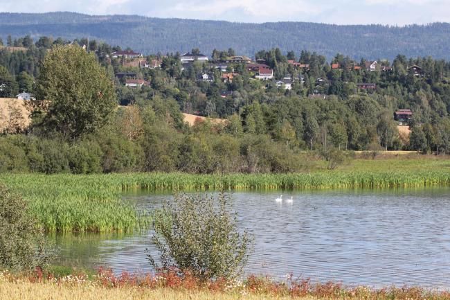
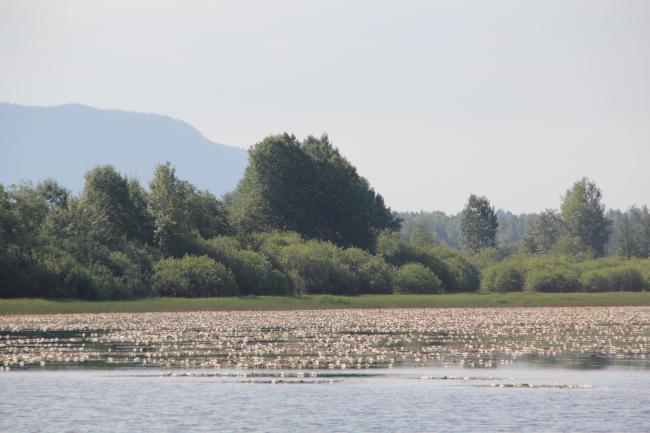
The Site is a system of oxbow lakes, bays dotted with islets, small dams and mires, across five sub-sites: Juveren, Synneren, Karlsrudtangen, Averøya and Lamyra. Wetland types include flooded marshland, seasonally flooded deciduous forests, mud and sand flats. A few rare fungi and plants including mosses are present. Several thousand wildfowl gather in the spring, and the area is important as an inland locality for migrating and wintering waterbirds and waders in southern Norway, and as a staging site for the Svalbard population of the pink-footed goose (Anser brachyrhynchus) and for the whooper swan (Cygnus cygnus). Several species of waterbirds feed, and numerous nationally rare species breed at the Site, including Eurasian coot (Fulica atra). The Site is also an important spawning ground for numerous species of fish including the brown trout (Salmo trutta). It is valuable in terms of flood reduction, sediment trapping and fixing of nutrients. Human activities include nature conservation, recreation, fishing, birdwatching, irrigation, and livestock farming. Watercourse regulation and the spread of Canadian pondweed threaten the Site.
- nature reserves - Lamyra, Averøya, Karlsrudtangen, Juveren and Synneren
- NO802RIS_2404_en.pdf
- NO802RISformer.pdf
- NO802RISformer_EN.pdf
- NO802RISformer_171013.pdf
- NO802RISformer_220622_1807_en.pdf
- NO802_map220628.pdf
- NO802_mgt171115.pdf
- NO802_mgt171115_1.pdf
- NO802_mgt171115_2.pdf
- NO802lit.zip
- NO802_lit160805.pdf
- NO802_lit171115.pdf
- NO802_lit171115_1.pdf
- Site boundaries (GIS file)


