Ballycotton Bay
Ballycotton Bay
- Country:
- Ireland
- Site number:
- 830
- Area:
- 92.0 ha
- Designation date:
- 07-06-1996
- Coordinates:
- 51°50'33"N 08°00'58"W
Carousel
CarouselMaterials presented on this website, particularly maps and territorial information, are as-is and as-available based on available data and do not imply the expression of any opinion whatsoever on the part of the Secretariat of the Ramsar Convention concerning the legal status of any country, territory, city or area, or of its authorities, or concerning the delimitation of its frontiers or boundaries.
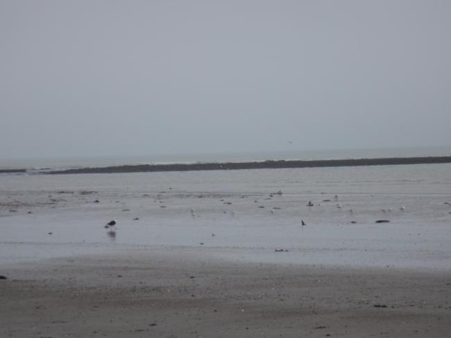
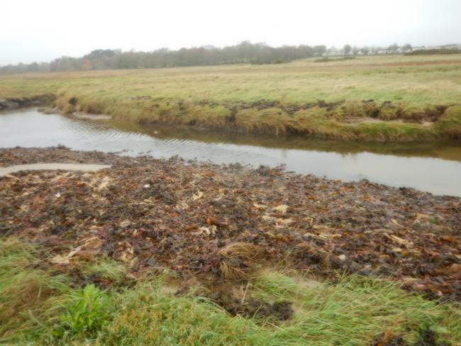
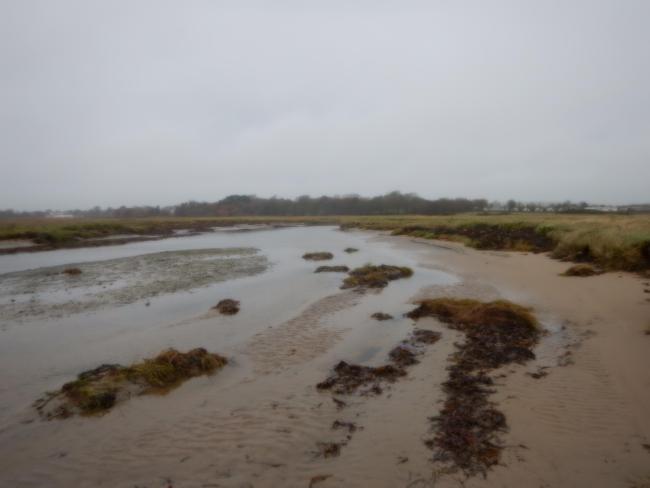
Ballycotton Bay comprises a stretch of coastline with shallow marine areas and two sheltered inlets which receive water from several small rivers. The main habitats are intertidal mudflats with fringing saltwater and freshwater marshes. These provide important roosting sites and foraging resources for waterbirds, notably wintering birds such as the common loon (Gavia immer) and the bar-tailed godwit (Limosa lapponica). The Site is a well-known location for waders, especially during their autumn passage. The estuarine and coastal habitats are important for coastal erosion control and storm protection, and provide a natural filtration service which is important for coastal water quality. Human activities include livestock grazing. Monitoring is implemented, and the National Parks and Wildlife Service Conservation Rangers regularly inspect the Site.
- Wildfowl Sanctuary
- wildfowl refuge
- EU Natura 2000
- IE830RIS_2207_en.pdf


