Inner Galway Bay
Inner Galway Bay
- Country:
- Ireland
- Site number:
- 838
- Area:
- 11,904.0 ha
- Designation date:
- 07-06-1996
- Coordinates:
- 53°12'N 09°02'20"W
Carousel
CarouselMaterials presented on this website, particularly maps and territorial information, are as-is and as-available based on available data and do not imply the expression of any opinion whatsoever on the part of the Secretariat of the Ramsar Convention concerning the legal status of any country, territory, city or area, or of its authorities, or concerning the delimitation of its frontiers or boundaries.
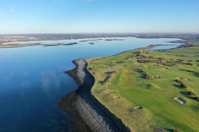
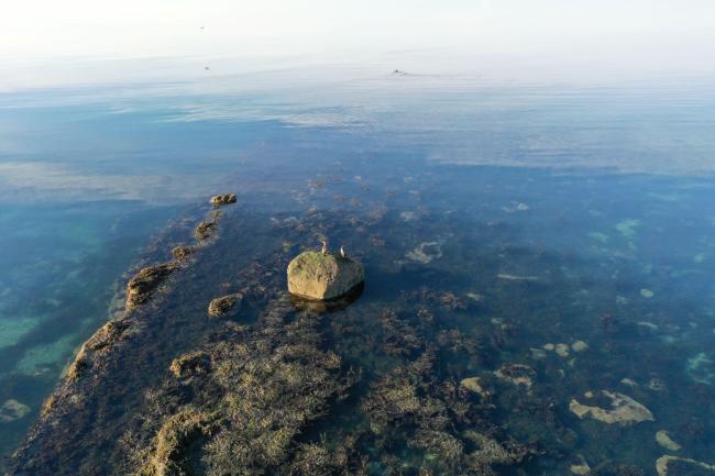
The Site is a very large, marine-dominated area situated on the west coast of Ireland. The long and diverse shoreline comprises complex mixtures of bedrock shore, shingle and sandy beaches and fringing salt marshes. Intertidal sand and mud flats and a number of small islands and rocky islets in the Bay are included. The Site supports an important colony of common seal (Phoca vitulina) and a breeding population of otter (Lutra lutra) as well as five species listed as threatened in Annex I of the European Union’s Birds Directive: the black-throated diver (Gavia arctica), great northern diver (Gavia immer), golden plover (Pluvialis apricaria), sandwich tern (Thalasseus sandvicensis) and the common tern (Sterna hirundo). The Site is used for recreation and education. Several factors affect its ecological character: the reef and sediment communities are vulnerable to disturbance or compaction from tractors accessing oyster trestles; and the purple sea urchin (Paracentrotus lividus) populations have been shown to be vulnerable to over-harvesting. Extraction of maerl in Galway Bay, eutrophication and urban expansion as well as recreational and aquaculture activities also pose threats.
- Wildfowl Sanctuary - Lough Rusheen
- EU Natura 2000
- IE838RIS_2303_en.pdf


