Somerset Long Bay Pond
Somerset Long Bay Pond
- Country:
- United Kingdom of Great Britain and Northern Ireland (Overseas territories)
- Site number:
- 985
- Area:
- 1.1 ha
- Designation date:
- 11-05-1999
- Coordinates:
- 32°18'12"N 64°52'19"W
Carousel
CarouselMaterials presented on this website, particularly maps and territorial information, are as-is and as-available based on available data and do not imply the expression of any opinion whatsoever on the part of the Secretariat of the Ramsar Convention concerning the legal status of any country, territory, city or area, or of its authorities, or concerning the delimitation of its frontiers or boundaries.
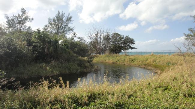
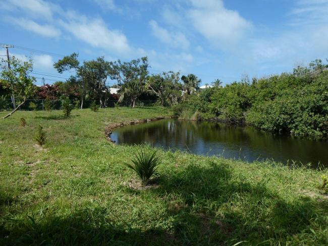
The Site is a former tidal swamp that has been restored into a brackish/freshwater pond with mangrove-fringed islets behind a sandy beach. The edge of the pond is also covered by both black and red mangroves. It supports an internationally important population of the Bermuda killifish (Fundulus bermudae), an endangered species that is endemic to the Bermudian archipelago. Somerset Long Bay Pond is often the first resting place in the Caribbean of birds migrating southwards along the east coast of North America. The dense vegetation of the mangroves fringing the pond, and the protection from predators afforded by the isolated islets in the pond, make the Site an excellent sanctuary for them. The Site provides protection against tidal erosion and flooding, is regularly used by local and visiting birdwatchers, and serves as an educational resource, while the beach area is used for recreation. The most significant threat is from invasive non-native species.
- Nature Reserve held under the Bermuda Audubon Society Act (1960) - Somerset Long Bay Nature Reserve (West)
- GB985RIS_2312_en.pdf
- GB985RISformer_170329.pdf
- GB985_mapGB985map1999__Site_map_1999.pdf
- GB985_map230610__Update_site_map_2023.pdf
- GB985_mgt230610__Management_Plan_2019.PDF


