Paget Marsh
Paget Marsh
- Country:
- United Kingdom of Great Britain and Northern Ireland (Overseas territories)
- Site number:
- 990
- Area:
- 11.7 ha
- Designation date:
- 11-05-1999
- Coordinates:
- 32°17'04"N 64°46'34"W
Carousel
CarouselMaterials presented on this website, particularly maps and territorial information, are as-is and as-available based on available data and do not imply the expression of any opinion whatsoever on the part of the Secretariat of the Ramsar Convention concerning the legal status of any country, territory, city or area, or of its authorities, or concerning the delimitation of its frontiers or boundaries.
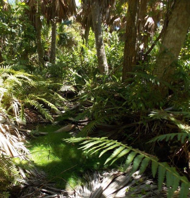
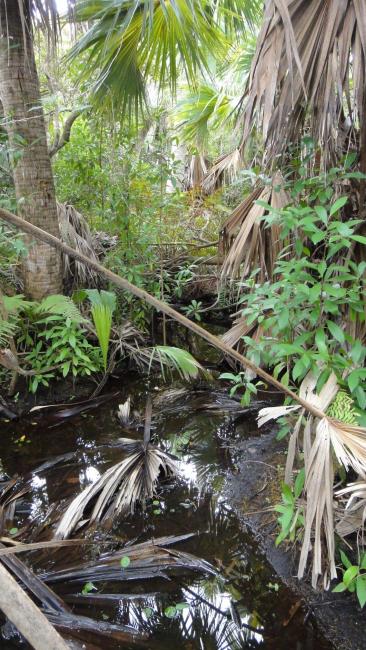
The Site is in a peat-filled basin, most of which is less than half a metre above sea level. It is the least disturbed of Bermuda’s peat marshes and the last remaining large example of the original forest cover of Bermuda. It includes relict mangrove swamp in a nearly non-tidal freshwater peat basin, at the northerly limit for mangroves in the Atlantic. The Site is rich in plant life: the swamp forest supports several species which are endemic to Bermuda or globally threatened, including the Bermuda cedar (Juniperus bermudiana), Bermuda palmetto (Sabal bermudana), Bermuda maidenhair fern (Adiantum bellum), Bermuda sedge (Carex bermudiana) and wild Bermuda pepper (Peperomia septentrionalis). It also contains several rare native species, including St. Andrew’s cross (Hypericum hypericoides) and Bermuda campylopus moss (Campylopus trachyblepharon), among many mosses, ferns, aquatic plants, reeds, grasses, vines, herbs, shrubs, trees and palms. In addition, 111 bird species have been observed. The Site features a short boardwalk, which makes it the only easily accessible marsh habitat in Bermuda. It is a valuable educational site, and it is also favoured for bird watching, nature photography and nature walks. It remains an important site for research on water quality, vegetation succession, rare species introductions and invasive plant management. The main threats are invasive non-native plant and animal species, pollution, and salination of groundwater and saturation of soils.
- Nature Reserve - Paget Marsh
- Nature Reserve - Paget Marsh Nature Reserve
- Protected farmland and historic house - Paget Marsh Farmland and Lemon Moor Cottage
- GB990RIS_2401_en.pdf
- GB990RISformer_170329.pdf
- GB990_mapGB990map1999__Site_map_1999.pdf
- GB990_map230609__Update_site_map_2023.pdf


