

Densu Delta Ramsar Site
- País:Ghana
- Número del sitio:564
- Superficie:5,893 ha
- Fecha de designación:14-08-1992
- Coordenadas:05°33'N 00°18'W
Los materiales presentados en este sitio web, particularmente los mapas y la información territorial, se proporcionan tal cual y según están disponibles a partir de los datos de los que se dispone y no implican la expresión de opinión alguna por parte de la Secretaría de la Convención de Ramsar respecto de la condición jurídica de ningún país, territorio, ciudad o zona, ni de sus autoridades, ni respecto de la delimitación de sus límites o fronteras.
Resumen
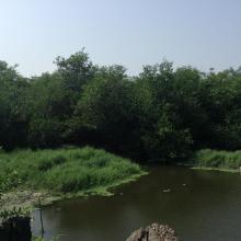
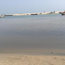
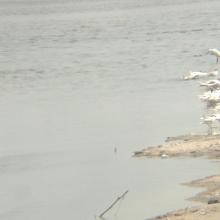
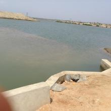
Densu Delta Ramsar Site is an estuary comprising open lagoon, salt pans, freshwater marsh, scrublands and sand dunes. The wetland is fed mainly by the Densu River, which supplies water to approximately half of the Accra metropolitan area. Scattered stands of mangroves are found in some areas around the lagoon, while the freshwater parts of the wetland support stands of Typha, Imperata grasses, and Cyperus sedges. It is estimated that over 57 water bird species, comprising the little egret Egretta garzetta, common ringed plover Charadrius hiaticula, Curlew sandpiper Calidris ferruginea, and the rare roseate tern Sterna dougallii feed and nest in the area. The entire Delta and its rich mangrove vegetation serves as a major sediment-trapping platform and a shoreline stabilizer for local communities, which depend heavily on the lagoon for commercial fishing, fuelwood harvesting and salt mining.
Región administrativa:
Greater Accra Region
- Fecha de última publicación:14-08-2015
Descargas
Ficha Informativa de los Humedales de Ramsar (FIR)
FIR archivada
Mapa del sitio
Informes y documentos adicionales
- Plan de manejo del sitio
