

Densu Delta Ramsar Site
- Pays:Ghana
- Numéro du site:564
- Superficie:5'893 ha
- Date d’inscription:14-08-1992
- Coordonnées:05°33'N 00°18'W
Le matériel présenté sur ce site web, et en particulier les cartes et l’information territoriale, est tel qu’il apparaît dans les données disponibles et n’implique en aucune manière l’expression d’une opinion quelconque de la part du Secrétariat de la Convention de Ramsar concernant le statut juridique de tout pays, territoire, ville ou zone, ou de ses autorités, ou concernant la délimitation de ses frontières ou limites.
Panorama
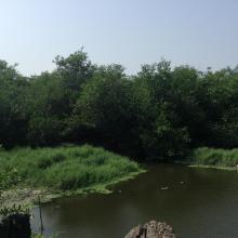
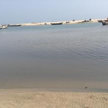
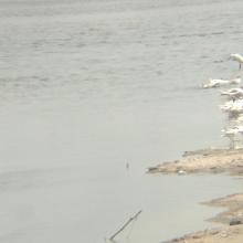
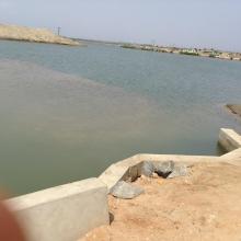
Densu Delta Ramsar Site is an estuary comprising open lagoon, salt pans, freshwater marsh, scrublands and sand dunes. The wetland is fed mainly by the Densu River, which supplies water to approximately half of the Accra metropolitan area. Scattered stands of mangroves are found in some areas around the lagoon, while the freshwater parts of the wetland support stands of Typha, Imperata grasses, and Cyperus sedges. It is estimated that over 57 water bird species, comprising the little egret Egretta garzetta, common ringed plover Charadrius hiaticula, Curlew sandpiper Calidris ferruginea, and the rare roseate tern Sterna dougallii feed and nest in the area. The entire Delta and its rich mangrove vegetation serves as a major sediment-trapping platform and a shoreline stabilizer for local communities, which depend heavily on the lagoon for commercial fishing, fuelwood harvesting and salt mining.
Région administrative:
Greater Accra Region
- Date de dernière publication:14-08-2015
Téléchargements
Fiche descriptive Ramsar (FDR)
FDR archivées
Carte du site
Rapports et documents complémentaires
- Plan de gestion du site
