Search results
Search found 59 Ramsar Sites covering 7,862,542 ha
- (-) Remove Statutory designation taxonomy: Global international legal and other formal filter Statutory designation taxonomy: Global international legal and other formal
- (-) Remove Sites on Montreux record?: No filter Sites on Montreux record?: No
- (-) Remove Ramsar criteria: 4 filter Ramsar criteria: 4
- (-) Remove Threats: Energy production and mining filter Threats: Energy production and mining
- (-) Remove Wetland type: Inland wetlands filter Wetland type: Inland wetlands
- (-) Remove Ramsar criteria: 9 filter Ramsar criteria: 9
- (-) Remove Management plan available: Yes filter Management plan available: Yes
- (-) Remove Ramsar criteria: 2 filter Ramsar criteria: 2
- (-) Remove Threats: Renewable energy filter Threats: Renewable energy
Map
Materials presented on this website, particularly maps and territorial information, are as-is and as-available based on available data and do not imply the expression of any opinion whatsoever on the part of the Secretariat of the Ramsar Convention concerning the legal status of any country, territory, city or area, or of its authorities, or concerning the delimitation of its frontiers or boundaries.
List
-


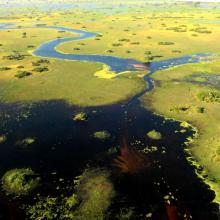
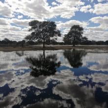
Okavango Delta System
-
Country:Botswana
-
Designation date:09-12-1996
-
Site number:879
-
Published since:3 year(s)
5,537,400 ha -
-

Los Lípez
-
Country:Bolivia (Plurinational State of)
-
Designation date:27-06-1990
-
Site number:489
-
Published since:15 year(s)
1,427,717 ha -
-
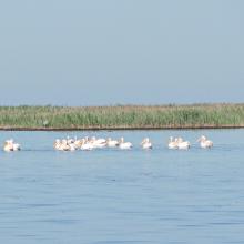
Karkinitska and Dzharylgatska Bays
-
Country:Ukraine
-
Designation date:11-10-1976
-
Site number:114
-
Published since:1 year(s)
147,557 ha -
-
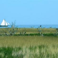
IJsselmeer
-
Country:Netherlands (Kingdom of the)
-
Designation date:29-08-2000
-
Site number:1246
-
Published since:1 year(s)
113,341 ha -
-
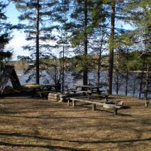
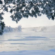
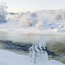
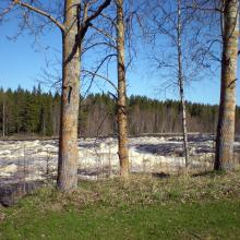
Vindelälven
-
Country:Sweden
-
Designation date:19-03-2013
-
Site number:2181
-
Published since:7 year(s)
66,395 ha -
-
Marais Breton, Baie de Bourgneuf, Ile de Noirmoutier et Forêt de Monts
-
Country:France
-
Designation date:02-02-2017
-
Site number:2283
-
Published since:7 year(s)
55,826 ha -
-
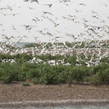
Tendrivska Bay
-
Country:Ukraine
-
Designation date:28-02-1997
-
Site number:768
-
Published since:1 year(s)
55,022 ha -
-
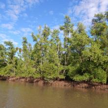
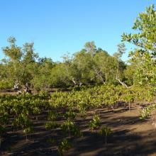
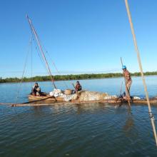
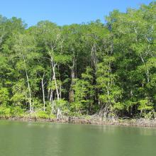
Mangroves de la Baie d'Ambaro
-
Country:Madagascar
-
Designation date:20-08-2020
-
Site number:2438
-
Published since:3 year(s)
54,000 ha -
-
Complejo Jaltepeque
-
Country:El Salvador
-
Designation date:02-02-2011
-
Site number:1935
-
Published since:2 year(s)
49,474 ha -
-
Yagorlytska Bay
-
Country:Ukraine
-
Designation date:28-02-1997
-
Site number:116
-
Published since:1 year(s)
39,693 ha -
