Search results

Map

Choose map: | | Download Centroids / Boundaries / Map (pdf)
Materials presented on this website, particularly maps and territorial information, are as-is and as-available based on available data and do not imply the expression of any opinion whatsoever on the part of the Secretariat of the Ramsar Convention concerning the legal status of any country, territory, city or area, or of its authorities, or concerning the delimitation of its frontiers or boundaries.

List

  1. Vue aérienne du site Ramsar (PNRFO)
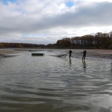
    Activités économiques : pêche (CELRL)
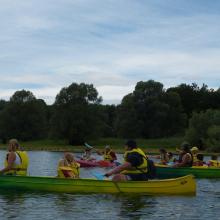
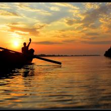
    Activités touristiques : canoés (PNRFO)
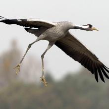
    Richesse écologique du site : Grue cendrée (C. Thomasson)
    Aires protégées : RNN étang de la Horre (CENCA)
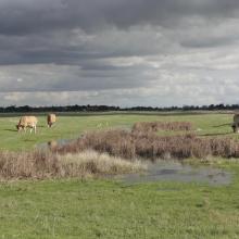
    Types de milieux : mare et prairie (PNRFO)

    Etangs de la Champagne humide

    • Country: 
      France
    • Designation date: 
      05-04-1991
    • Site number: 
      514
    • Published since: 
      4 year(s)
    255,800 ha
  2. Entrée du petit lagon.
    îlot karstique du grand lagon.
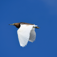
    Crabier blanc (ardeola idae).
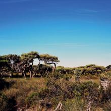
    Euphorbaie.
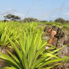
    Lutte contre le choca (Furcraea foetida), une espèce végétale exotique envahissante.
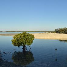
    Lutjanus fulvus et Lutjanus ehrenbergii dans un bras de mangrove
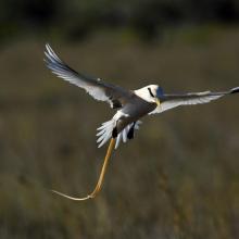
    Phaéton à bec jaune (Phaethon lepturus).
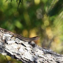
    Scinque aux labiales tachetées (Trachylepis maculilabris).

    Île Europa

    • Country: 
      France (outre-mer)
    • Designation date: 
      27-10-2011
    • Site number: 
      2073
    • Published since: 
      1 year(s)
    214,872 ha
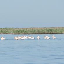
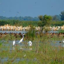
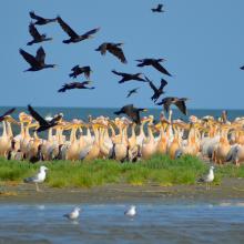
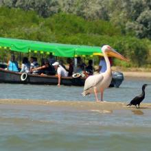
  3. Wite Pelicans near the island Dzharylgach
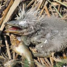
    Breakfast of the chicken of Gray Herons on the Cakinitsky islands
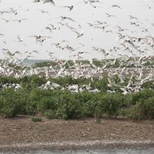
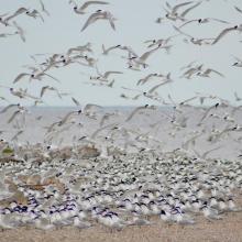
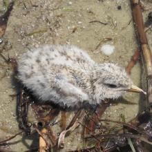
    The wet chicken of Sandwich Tern on the island  Dzharylgach
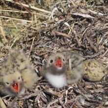
    Chicks of the Common Tern on the island Dzharylgach
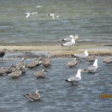
    Young Yellow-legged Gull on the Cakinitsky islands

    Karkinitska and Dzharylgatska Bays

    • Country: 
      Ukraine
    • Designation date: 
      11-10-1976
    • Site number: 
      114
    • Published since: 
      1 year(s)
    147,557 ha
  4. Ramsar logo

    Marais De Kaw

    • Country: 
      France (outre-mer)
    • Designation date: 
      08-12-1993
    • Site number: 
      644
    • Published since: 
      17 year(s)
    137,000 ha
  5. Ramsar logo

    Basse-Mana

    • Country: 
      France (outre-mer)
    • Designation date: 
      08-12-1993
    • Site number: 
      643
    • Published since: 
      17 year(s)
    59,000 ha
  6. le marais salé
    plage
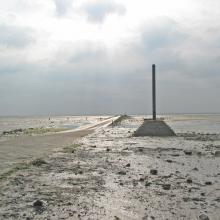
    Le Gois

    Marais Breton, Baie de Bourgneuf, Ile de Noirmoutier et Forêt de Monts

    • Country: 
      France
    • Designation date: 
      02-02-2017
    • Site number: 
      2283
    • Published since: 
      7 year(s)
    55,826 ha
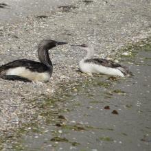
  7. Colony of Ichthyaetus melanocephalus
    Gavia
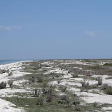
    Tendrivska split
    Tendrivska split

    Tendrivska Bay

    • Country: 
      Ukraine
    • Designation date: 
      28-02-1997
    • Site number: 
      768
    • Published since: 
      1 year(s)
    55,022 ha
  8. Kyliiske Mouth
    Kyliiske Mouth
    Kyliiske Mouth
    Kyliiske Mouth
    Kyliiske Mouth
    Kyliiske Mouth
    Kyliiske Mouth
    Kyliiske Mouth
    Kyliiske Mouth
    Kyliiske Mouth
    Kyliiske Mouth
    Kyliiske Mouth
    Kyliiske Mouth

    Kyliiske Mouth

    • Country: 
      Ukraine
    • Designation date: 
      11-10-1976
    • Site number: 
      113
    • Published since: 
      1 year(s)
    44,904 ha
  9. Colony of Ichthyaetus ichthyaetus on the island of Big Kinsky in Yagorlytska Bay, Black Sea Biosphere Reserve.
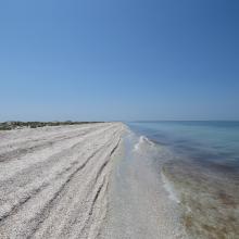
    Coast of Yagorlytska Bay
    Pelecanus onocrotalus on the coastal lakes of Yagorlytska Bay
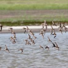
    The coastal lakes and salt marshes of Yagorlytska Bay are the stoppower place of many waders during migrations.
    Middle winter accounting of wintering waterbirds.

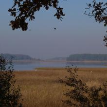
    Yagorlytska Bay

    • Country: 
      Ukraine
    • Designation date: 
      28-02-1997
    • Site number: 
      116
    • Published since: 
      1 year(s)
    39,693 ha
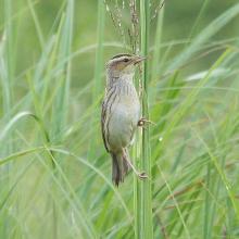
  10. Acrocephalus paludicola
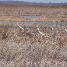
    Egretta alba
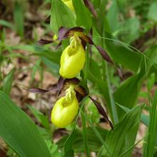
    Cypripedium calceolus
    Lake Liubyaz
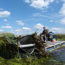
    Removal of problematic vegetation on the Pripyat River
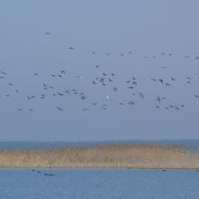
    Spring concentration of migrated water birds
    Swamp renaturalization in the key habitat of aquatic warbler

    Prypiat River Floodplains

    • Country: 
      Ukraine
    • Designation date: 
      28-02-1997
    • Site number: 
      776
    • Published since: 
      2 year(s)
    37,568 ha

Pages

Stats


Exports

Export Sites information

For a summary list of all the Ramsar Sites in pdf format, click here.

Generate reports of selected Sites

You can generate a report based on the filters you have applied, in either pdf or xls format. The report will sort the results by the Site name, unless you have sorted them by another variable.

For the pdfs, you can choose whether to include the introductory text on each Site, or just show the key data in a shorter report.

To receive a report, please provide your email address and enter the text in the verification picture into the textbox.

As soon as the list has been generated an e-mail will be sent to you with the link to access the file.