Search results

Map

Choose map: | | Download Centroids / Boundaries / Map (pdf)
Materials presented on this website, particularly maps and territorial information, are as-is and as-available based on available data and do not imply the expression of any opinion whatsoever on the part of the Secretariat of the Ramsar Convention concerning the legal status of any country, territory, city or area, or of its authorities, or concerning the delimitation of its frontiers or boundaries.

List

  1. ICMBio
    ICMBio
    ICMBio
    Helder Lana
    ICMBio

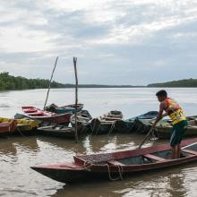
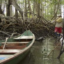
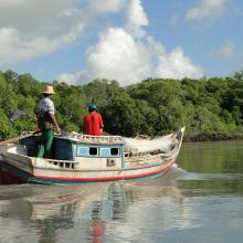
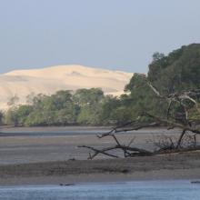
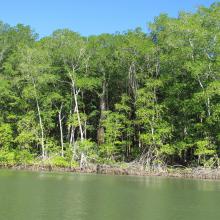
    Amazon Estuary and its Mangroves

    • Country: 
      Brazil
    • Designation date: 
      19-03-2018
    • Site number: 
      2337
    • Published since: 
      5 year(s)
    3,850,253 ha
  2. La rivière Lufira
    Le lac Tshangalele qui est dans le bassin de la lufira
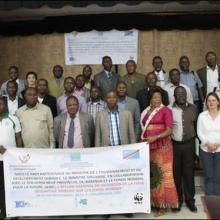
    La photo de l'atelier avec les autorités provinciales
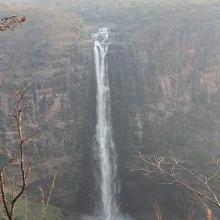
    Chutte de Lofoi

    Bassin de la Lufira

    • Country: 
      Democratic Republic of the Congo
    • Designation date: 
      31-10-2017
    • Site number: 
      2318
    • Published since: 
      6 year(s)
    4,470,993 ha
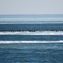
  3. Until the bay is completely covered with ice, ducks will not fly further south.
    The shallow bay is the best feeding ground for Cygnus cygnus.
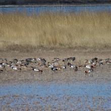
    Anas penelope refreshes for a long road
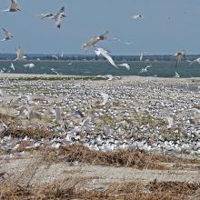
    The colony of Thalasseus sandvicensis on the terminus of the Bilosaraiska Spit
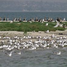
    Larus genei settle near Thalasseus sandvicensis.
    Larus genei settle near Thalasseus sandvicensis.
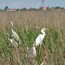
    At the colony of Ardea alba.
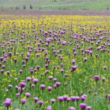
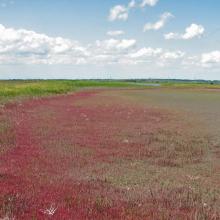
    Halophytic meadows with Rhaponticum serratuloides.
    Psammophyte-steppe area with Iris pumila.
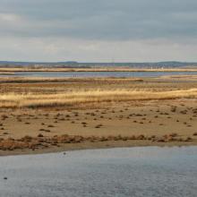
    Shallow saline lakes attract the birds due to their security and food availability.
    In summer, almost all saline shallow lakes are dried-up.

    Bilosaraiska Bay and Bilosaraiska Spit

    • Country: 
      Ukraine
    • Designation date: 
      28-02-1997
    • Site number: 
      773
    • Published since: 
      1 year(s)
    11,281 ha
  4. Bosque de Manglar/Estero de Jaltepeque
    Bosque de Manglar/Estero de Jaltepeque
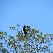
    Phalacrocorax brasilianus (Pato Chancho) especie potencialmente oportunista en la zona.
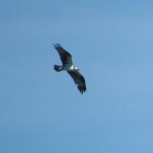
    Pandion haliaetus (Águila Pescadora), migratoria.
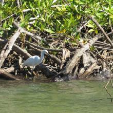
    Egretta thula (Garza blanca de patas amarillas).

    Complejo Jaltepeque

    • Country: 
      El Salvador
    • Designation date: 
      02-02-2011
    • Site number: 
      1935
    • Published since: 
      2 year(s)
    49,474 ha
  5. Temporary Pan
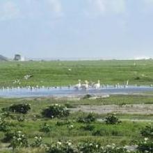
    Pelicans with White breasted cormorants
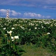
    Yellow oxalis with Lighthouse
    Arum Lilies
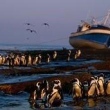
    African Penguins with Shipwreck
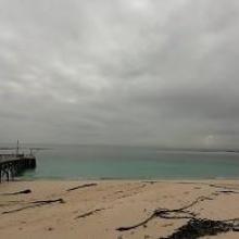
    House Bay with jetty

    Dassen Island Nature Reserve

    • Country: 
      South Africa
    • Designation date: 
      29-03-2019
    • Site number: 
      2383
    • Published since: 
      4 year(s)
    737 ha
  6. Drużno Lake
    Drużno Lake
    Drużno Lake
    Drużno Lake

    Druzno Lake Nature Reserve

    • Country: 
      Poland
    • Designation date: 
      29-10-2002
    • Site number: 
      1563
    • Published since: 
      4 year(s)
    3,068 ha
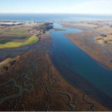
  7. Overhead Photo
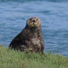
    Otter
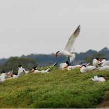
    Turns
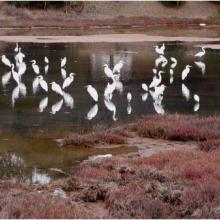
    Great Egrit
    Shore Birds
    Oyster Restoration Reef
    Eel Grass Bed

    Elkhorn Slough

    • Country: 
      United States of America
    • Designation date: 
      25-06-2018
    • Site number: 
      2345
    • Published since: 
      5 year(s)
    724 ha
  8. drainage
    Overview
    Overview

    Fifa Nature Reserve

    • Country: 
      Jordan
    • Designation date: 
      04-12-2016
    • Site number: 
      2294
    • Published since: 
      7 year(s)
    6,100 ha
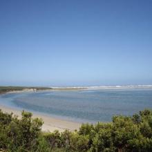
  9. Glenelg River Estuary as viewed from the Beach Road lookout, the opening to the ocean can be seen at far right.
    Coastal dune scrub on the barrier dunes adjacent to Long Swamp and shorebird habitat along the ocean beach.
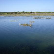
    Lake Mombeong one of the freshwater lakes of Discovery Bay

    Glenelg Estuary and Discovery Bay Ramsar Site

    • Country: 
      Australia
    • Designation date: 
      28-02-2018
    • Site number: 
      2344
    • Published since: 
      5 year(s)
    22,289 ha
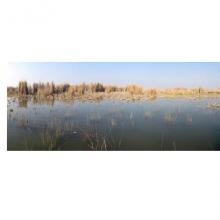
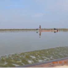
  10. West Hammar/
Kurmashyah marsh/Al-Nasisiryah
    AL-Hammar marsh/ Al-Kermashyah/ Al-Nasisiryah
    AL-Hammar marsh/ Al-Mashab/ Basra

    Hammar Marsh

    • Country: 
      Iraq
    • Designation date: 
      07-04-2014
    • Site number: 
      2242
    • Published since: 
      8 year(s)
    180,000 ha

Pages

Stats


Exports

Export Sites information

For a summary list of all the Ramsar Sites in pdf format, click here.

Generate reports of selected Sites

You can generate a report based on the filters you have applied, in either pdf or xls format. The report will sort the results by the Site name, unless you have sorted them by another variable.

For the pdfs, you can choose whether to include the introductory text on each Site, or just show the key data in a shorter report.

To receive a report, please provide your email address and enter the text in the verification picture into the textbox.

As soon as the list has been generated an e-mail will be sent to you with the link to access the file.