Search results
Search found 173 Ramsar Sites covering 28,109,173 ha
- (-) Remove Ramsar criteria: 3 filter Ramsar criteria: 3
- (-) Remove Picture available?: Yes filter Picture available?: Yes
- (-) Remove Designation date: 1976 filter Designation date: 1976
- (-) Remove Ramsar criteria: 5 filter Ramsar criteria: 5
- (-) Remove Designation date: August 1976 filter Designation date: August 1976
- (-) Remove Management plan available: Yes filter Management plan available: Yes
- (-) Remove Threats: Agriculture & aquaculture filter Threats: Agriculture & aquaculture
- (-) Remove Max elevation (in meters): -500 - -1 filter Max elevation (in meters): -500 - -1
- (-) Remove Threats: Annual and perennial non-timber crops filter Threats: Annual and perennial non-timber crops
Map
Materials presented on this website, particularly maps and territorial information, are as-is and as-available based on available data and do not imply the expression of any opinion whatsoever on the part of the Secretariat of the Ramsar Convention concerning the legal status of any country, territory, city or area, or of its authorities, or concerning the delimitation of its frontiers or boundaries.
List
-
Zones Humides de Sahamalaza
-
Country:Madagascar
-
Designation date:02-02-2017
-
Site number:2288
-
Published since:7 year(s)
24,049 ha -
-


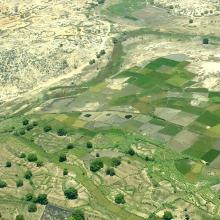


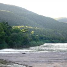
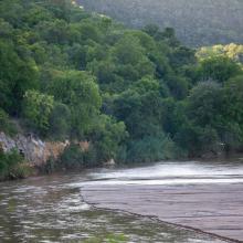

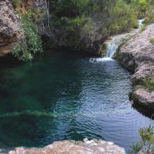
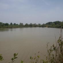
Zones humides de l'Onilahy
-
Country:Madagascar
-
Designation date:22-05-2017
-
Site number:2304
-
Published since:6 year(s)
42,950 ha -
-
Zone Humide de la Rivière Pendjari
-
Country:Benin
-
Designation date:02-02-2007
-
Site number:1669
-
Published since:5 year(s)
483,366 ha -
-
Yagorlytska Bay
-
Country:Ukraine
-
Designation date:28-02-1997
-
Site number:116
-
Published since:1 year(s)
39,693 ha -
-

Wular Lake
-
Country:India
-
Designation date:23-03-1990
-
Site number:461
-
Published since:34 year(s)
18,900 ha -
-
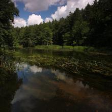
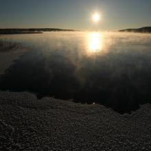
Wigry National Park
-
Country:Poland
-
Designation date:29-10-2002
-
Site number:1567
-
Published since:5 year(s)
15,085 ha -
-
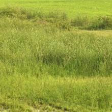


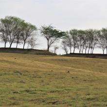
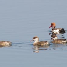
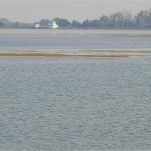
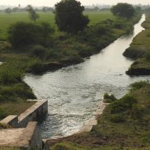
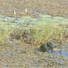


Wadhvana Wetland
-
Country:India
-
Designation date:05-04-2021
-
Site number:2454
-
Published since:2 year(s)
630 ha -
-
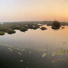
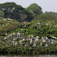
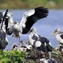
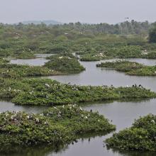
Vedanthangal Bird Sanctuary
-
Country:India
-
Designation date:08-04-2022
-
Site number:2477
-
Published since:1 year(s)
40 ha -
-
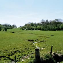
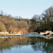
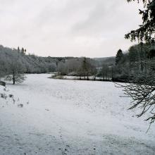
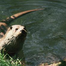
Vallée de la Haute-Sûre
-
Country:Belgium
-
Designation date:08-03-2004
-
Site number:1407
-
Published since:8 year(s)
29,000 ha -
-

Upper Orashi Forests
-
Country:Nigeria
-
Designation date:30-04-2008
-
Site number:1759
-
Published since:15 year(s)
25,165 ha -
