Search results
Search found 624 Ramsar Sites covering 66,357,833 ha
- (-) Remove Picture available?: Yes filter Picture available?: Yes
- (-) Remove Ramsar criteria: 8 filter Ramsar criteria: 8
- (-) Remove Management plan available: Yes filter Management plan available: Yes
- (-) Remove Sites on Montreux record?: Yes filter Sites on Montreux record?: Yes
- (-) Remove Threats: Natural system modifications filter Threats: Natural system modifications
- (-) Remove Wetland type: Inland wetlands filter Wetland type: Inland wetlands
- (-) Remove Designation date: 2005 filter Designation date: 2005
Map
Materials presented on this website, particularly maps and territorial information, are as-is and as-available based on available data and do not imply the expression of any opinion whatsoever on the part of the Secretariat of the Ramsar Convention concerning the legal status of any country, territory, city or area, or of its authorities, or concerning the delimitation of its frontiers or boundaries.
List
-

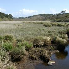
Tourbière de Moltifao
-
Country:France
-
Designation date:27-10-2011
-
Site number:1994
-
Published since:12 year(s)
33 ha -
-

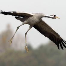
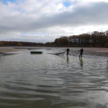
Etangs de la Champagne humide
-
Country:France
-
Designation date:05-04-1991
-
Site number:514
-
Published since:4 year(s)
255,800 ha -
-

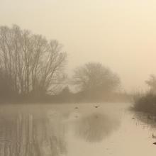
Etangs de la Petite Woëvre
-
Country:France
-
Designation date:05-04-1991
-
Site number:515
-
Published since:29 year(s)
5,300 ha -
-
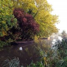
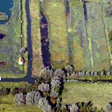

Le Marais audomarois
-
Country:France
-
Designation date:15-09-2008
-
Site number:1835
-
Published since:6 year(s)
3,726 ha -
-
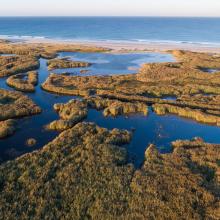
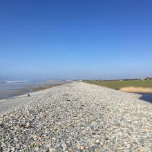
Baie d'Audierne
-
Country:France
-
Designation date:04-09-2021
-
Site number:2460
-
Published since:2 year(s)
2,396 ha -
-

Grand Cul-de-Sac Marin de la Guadeloupe
-
Country:France (outre-mer)
-
Designation date:08-12-1993
-
Site number:642
-
Published since:12 year(s)
29,500 ha -
-
Etang de Saint-Paul
-
Country:France (outre-mer)
-
Designation date:15-07-2019
-
Site number:2398
-
Published since:4 year(s)
485 ha -
-


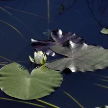
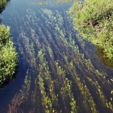
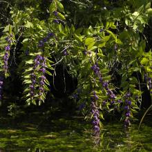
Ispani Mire
-
Country:Georgia
-
Designation date:07-02-1997
-
Site number:894
-
Published since:4 year(s)
783 ha -
-

Schleswig-Holstein Wadden Sea and adjacent areas
-
Country:Germany
-
Designation date:15-11-1991
-
Site number:537
-
Published since:22 year(s)
454,988 ha -
-

Oberrhein / Rhin Supérieur
-
Country:Germany
-
Designation date:28-08-2008
-
Site number:1809
-
Published since:15 year(s)
25,117 ha -
