Search results

Map

Choose map: | | Download Centroids / Boundaries / Map (pdf)
Materials presented on this website, particularly maps and territorial information, are as-is and as-available based on available data and do not imply the expression of any opinion whatsoever on the part of the Secretariat of the Ramsar Convention concerning the legal status of any country, territory, city or area, or of its authorities, or concerning the delimitation of its frontiers or boundaries.

List

  1. Bombah Broadwater
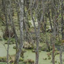
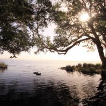
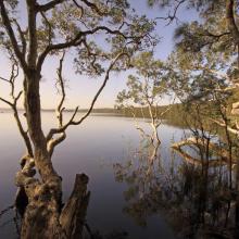
    Swamp Webs, Myall Lakes NP
    Myall Lakes National Park
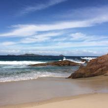
    View south from Dark Point, Myall Lakes National Park
    View of Broughton Island, Myall Lakes National Park

    Myall Lakes

    • Country: 
      Australia
    • Designation date: 
      14-06-1999
    • Site number: 
      994
    • Published since: 
      1 year(s)
    44,612 ha
  2. Ballena de aleta
    Diferentes especies de patos
    Estero del Rincón
    Estero Guadalupe
    Estero La Mona
    Estero Las Ánimas
    Estero Punta Arena
    Estero San Rafael
    Gallito marino (Sterna maxima)
    Isla Gemilito
    Isla La Ventana
    Lobo marino californiano (Zalophus californianus)
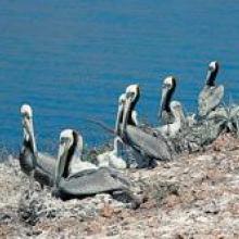
    Pelicano café (Pelecanus occidentalis)
    Playa El Venado
    Playa La Única
    Playa San Francisquito
    Punta La Gringa
    Punta María
    Punta Remedios
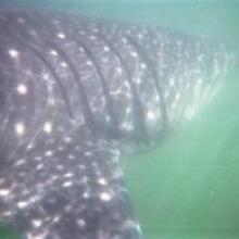
    Tiburón ballena (Rhincodon typus)
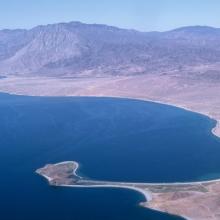
    Vista aérea del Estero del Cardón
    Vista aérea del Estero El Quemado
    Vista aérea del Estero Guadalupe
    Vista aérea del Estero Las Ánimas

    Corredor Costero La Asamblea-San Francisquito

    • Country: 
      Mexico
    • Designation date: 
      27-11-2005
    • Site number: 
      1595
    • Published since: 
      18 year(s)
    44,304 ha
  3. complexe de zones humides de guerbes sanhadja
    complexe de zones humides de guerbes sanhadja
    complexe de zones humides de guerbes sanhadja

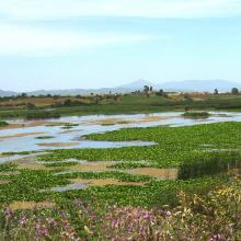
    Complexe de zones humides de la plaine de Guerbes-Sanhadja

    • Country: 
      Algeria
    • Designation date: 
      02-02-2001
    • Site number: 
      1056
    • Published since: 
      5 year(s)
    42,100 ha
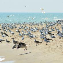
  4. Colony of Ichthyaetus ichthyaetus on the island of Big Kinsky in Yagorlytska Bay, Black Sea Biosphere Reserve.
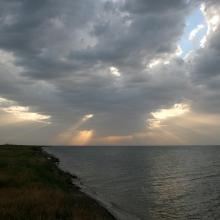
    Coast of Yagorlytska Bay
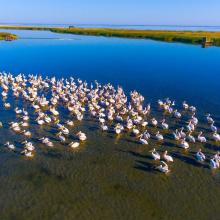
    Pelecanus onocrotalus on the coastal lakes of Yagorlytska Bay
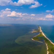
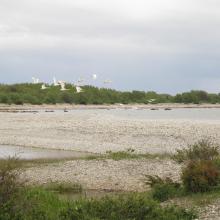
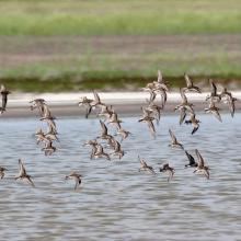
    The coastal lakes and salt marshes of Yagorlytska Bay are the stoppower place of many waders during migrations.
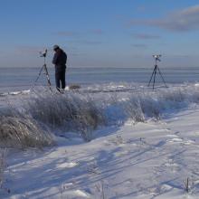
    Middle winter accounting of wintering waterbirds.

    Yagorlytska Bay

    • Country: 
      Ukraine
    • Designation date: 
      28-02-1997
    • Site number: 
      116
    • Published since: 
      1 year(s)
    39,693 ha
  5. Aerial view of the Parado Lagoon, Guaratuba Environmental Protection Area, Paraná state, Brazil. Photo: Roberto Bóçon.

    Guaratuba

    • Country: 
      Brazil
    • Designation date: 
      21-09-2017
    • Site number: 
      2317
    • Published since: 
      6 year(s)
    38,329 ha
  6. Peatbog buried by dune
    Bulrush in Gardno Lake
    Alder forest
    Sea coastal waters
    Peatbog
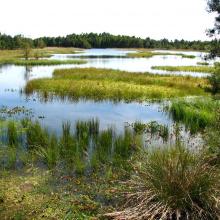
    Gardno Lake
    Gardno Lake
    Sea coastal waters
    Peatbog buried by dune
    Peatbog
    Peatbog
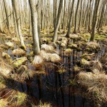
    Wet forest
    bog woodland
    Vaccinio uliginosi-Betuletum pubescentis
    Peatland regenerating after peat extraction
    Peatland regenerating after peat extraction
    Salt marshes
    Sea coastal waters
    Peatbog Krakulice
    Peatbog Krakulice
    Shrubs with bog-myrtle
    Alder forest buried by dune

    Słowiński National Park

    • Country: 
      Poland
    • Designation date: 
      24-10-1995
    • Site number: 
      757
    • Published since: 
      5 year(s)
    32,744 ha
  7. Molochnyi Liman
    Molochnyi Liman
    Molochnyi Liman

    Molochnyi Liman

    • Country: 
      Ukraine
    • Designation date: 
      28-02-1997
    • Site number: 
      770
    • Published since: 
      2 year(s)
    29,152 ha
  8. Birds in the estuaries
    Birds in the estuaries
    Burnas
    Eco-educational center
    Birds in the estuaries
    Birds in the estuaries
    Tuzly Limans. Autumn
    Birds in the estuaries
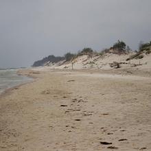
    A sand spit of Tuzlivski Limans

    Shagany-Alibei-Burnas Lakes System

    • Country: 
      Ukraine
    • Designation date: 
      28-02-1997
    • Site number: 
      763
    • Published since: 
      2 year(s)
    27,600 ha
  9. Osmussaare

    Haapsalu-Noarootsi

    • Country: 
      Estonia
    • Designation date: 
      08-02-2011
    • Site number: 
      2022
    • Published since: 
      2 year(s)
    27,450 ha
  10. Vue plan d'eau
    Mangroves
    Vue Mangroves

    Iles Ehotilé-Essouman

    • Country: 
      Côte d'Ivoire
    • Designation date: 
      18-10-2005
    • Site number: 
      1584
    • Published since: 
      5 year(s)
    27,274 ha

Pages

Stats


Exports

Export Sites information

For a summary list of all the Ramsar Sites in pdf format, click here.

Generate reports of selected Sites

You can generate a report based on the filters you have applied, in either pdf or xls format. The report will sort the results by the Site name, unless you have sorted them by another variable.

For the pdfs, you can choose whether to include the introductory text on each Site, or just show the key data in a shorter report.

To receive a report, please provide your email address and enter the text in the verification picture into the textbox.

As soon as the list has been generated an e-mail will be sent to you with the link to access the file.