Search results

Map

Choose map: | | Download Centroids / Boundaries / Map (pdf)
Materials presented on this website, particularly maps and territorial information, are as-is and as-available based on available data and do not imply the expression of any opinion whatsoever on the part of the Secretariat of the Ramsar Convention concerning the legal status of any country, territory, city or area, or of its authorities, or concerning the delimitation of its frontiers or boundaries.

List

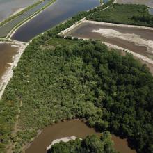
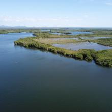
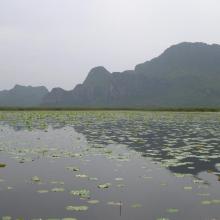
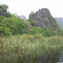
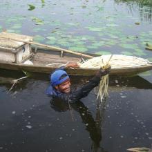
  1. Khao Sam Roi Yot Wetland
    Khao Sam Roi Yot Wetland
    Khao Sam Roi Yot Wetland
    Khao Sam Roi Yot Wetland

    Khao Sam Roi Yot Wetland

    • Country: 
      Thailand
    • Designation date: 
      08-01-2008
    • Site number: 
      2238
    • Published since: 
      8 year(s)
    6,892 ha
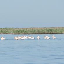
  2. Wite Pelicans near the island Dzharylgach
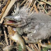
    Breakfast of the chicken of Gray Herons on the Cakinitsky islands
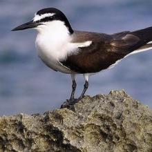
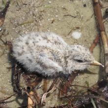
    The wet chicken of Sandwich Tern on the island  Dzharylgach
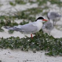
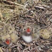
    Chicks of the Common Tern on the island Dzharylgach
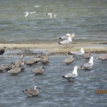
    Young Yellow-legged Gull on the Cakinitsky islands

    Karkinitska and Dzharylgatska Bays

    • Country: 
      Ukraine
    • Designation date: 
      11-10-1976
    • Site number: 
      114
    • Published since: 
      1 year(s)
    147,557 ha
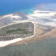
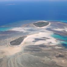
  3. Quelques uns des iles Barren
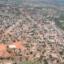
    La ville de Maintirano
    Iles Barren
    Ile de Maroantaly
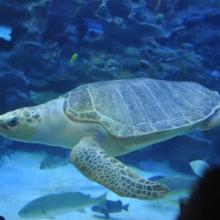
    Caretta caretta
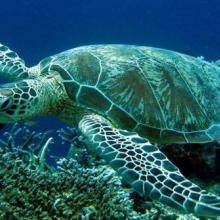
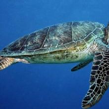
    Chelonia mydas
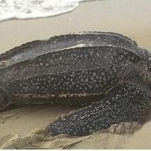
    Dermochelys coriacea
    Eretmochelys imbricata bissa
    Lepidochelys olivacea
    Haliaeetus vociferoides
    Sterna anaethetus
    Sterna dougallii

    Iles Barren

    • Country: 
      Madagascar
    • Designation date: 
      22-05-2017
    • Site number: 
      2303
    • Published since: 
      7 year(s)
    463,200 ha
  4. Ramsar logo

    Miankaleh Peninsula, Gorgan Bay and Lapoo-Zaghmarz Ab-bandan

    • Country: 
      Iran (Islamic Republic of)
    • Designation date: 
      23-06-1975
    • Site number: 
      36
    • Published since: 
      27 year(s)
    100,000 ha
  5. Ramsar logo

    Rufiji-Mafia-Kilwa Marine Ramsar Site

    • Country: 
      United Republic of Tanzania
    • Designation date: 
      29-10-2004
    • Site number: 
      1443
    • Published since: 
      19 year(s)
    596,908 ha
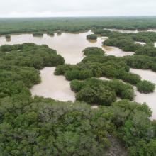
  6. Vista aérea de la ciénaga
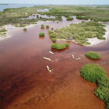
    Vista aérea del bosque de manglar entre la ciénaga
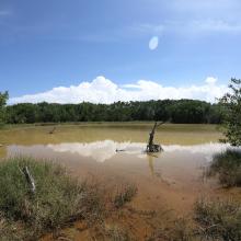
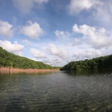
    Vista lateral de la ciénaga
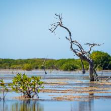
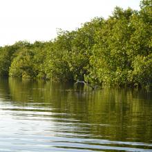
    Borde de manglar en la ciénaga
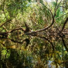
    Manglar dentro de la ciénaga
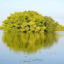
    Islote de manglar
    Vegetación acuática asociada al manglar
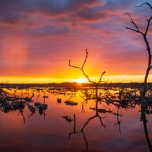
    Atardecer en la ciénaga
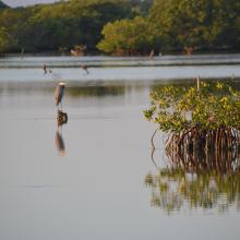
    Garza morena entre el manglar
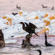
    Pelícanos y cormoranes en la ciénaga
    Parvada de flamencos en la ciénaga
    Entrada a un  petén costero
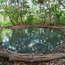
    Petén costero
    Superficie de un petén costero
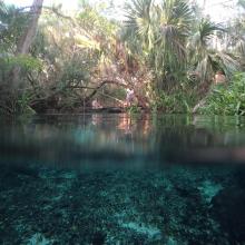
    Interior de un petén costero

    Reserva Estatal Ciénagas y Manglares de la Costa Norte de Yucatán

    • Country: 
      Mexico
    • Designation date: 
      02-02-2022
    • Site number: 
      2468
    • Published since: 
      1 year(s)
    54,777 ha
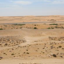
  7. Oued As-Saqia Al Hamra persant le barrage de dunes sableuses
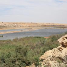
    Oued As-Saqia Al Hamra à l'amont immédiat du barrage de dunes sableuses
    Oued As-Saqia Al Hamra à l'amont du barrage dunaire _flamants et sarcelles marbrées
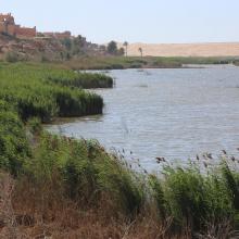
    Oued As-Saqia Al Hamra en contact de la ville de La'youne (vue vers l'amont)
    Oued As-Saqia Al Hamra en contact de la ville de La'youne et végétation émergente (vue vers l'amont)

    Oued Assaquia Al Hamra à La'youne

    • Country: 
      Morocco
    • Designation date: 
      16-04-2019
    • Site number: 
      2382
    • Published since: 
      4 year(s)
    9,500 ha
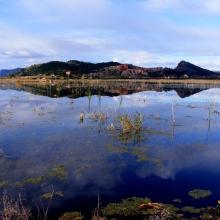
  8. Marjal de Almenara. Panorámica de las lagunas someras
    Marjal de Almenara. Panorámica general
    Marjal de Almenara. Panorámica de estany
    Marjal de Almenara. Panorámica con aves
    Marjal de Almenara. Antiguos arrozales recuperados
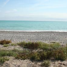
    Marjal de Almenara. Cordón litoral de cantos y saladar
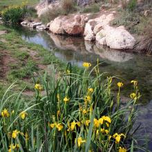
    Marjal de Almenara. Detalle de surgencia de agua subterránea en rocas kársticas (ullal)
    Marjal de Almenara. Detalle de surgencia de agua subterránea en rocas kársticas (ullal)
    Marjal de Almenara. Detalle de estany con Ceratophyllums demersum
    Marjal de Almenara. Tareas de muestreo efectuado por voluntarios (programa de seguimiento de calidad de aguas, Generalitat Valenciana)

    Marjal de Almenara

    • Country: 
      Spain
    • Designation date: 
      17-11-2017
    • Site number: 
      2338
    • Published since: 
      3 year(s)
    1,474 ha
  9. Sitio Ramsar Limarí: Desembocadura Rio Limarí, desde Salala hasta su desembocadura, Región de Coquimbo, Chile. Vista de la amplitud del humedal, sus usos tradicionales y el contraste con su entorno semidesertico

    Humedal del río Limarí, desde Salala hasta su desembocadura

    • Country: 
      Chile
    • Designation date: 
      21-07-2020
    • Site number: 
      2424
    • Published since: 
      3 year(s)
    527 ha
  10. Bahia San Lorenzo y Chismuyo
    Bahia San Lorenzo - Chismuyo
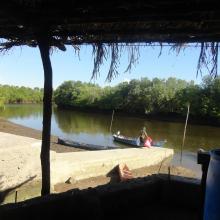
    Bahia de San Lorenzo
    Los Delgaditos
    San Bernardo
    Bahía San Lorenzo
    Los Delgaditos

    Sistema de Humedales de la Zona Sur de Honduras

    • Country: 
      Honduras
    • Designation date: 
      10-07-1999
    • Site number: 
      1000
    • Published since: 
      2 year(s)
    75,031 ha

Pages

Stats


Exports

Export Sites information

For a summary list of all the Ramsar Sites in pdf format, click here.

Generate reports of selected Sites

You can generate a report based on the filters you have applied, in either pdf or xls format. The report will sort the results by the Site name, unless you have sorted them by another variable.

For the pdfs, you can choose whether to include the introductory text on each Site, or just show the key data in a shorter report.

To receive a report, please provide your email address and enter the text in the verification picture into the textbox.

As soon as the list has been generated an e-mail will be sent to you with the link to access the file.