Search results

Map

Choose map: | | Download Centroids / Boundaries / Map (pdf)
Materials presented on this website, particularly maps and territorial information, are as-is and as-available based on available data and do not imply the expression of any opinion whatsoever on the part of the Secretariat of the Ramsar Convention concerning the legal status of any country, territory, city or area, or of its authorities, or concerning the delimitation of its frontiers or boundaries.

List

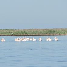
  1. Wite Pelicans near the island Dzharylgach
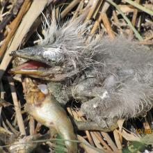
    Breakfast of the chicken of Gray Herons on the Cakinitsky islands
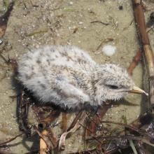
    The wet chicken of Sandwich Tern on the island  Dzharylgach
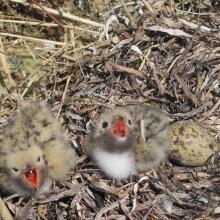
    Chicks of the Common Tern on the island Dzharylgach
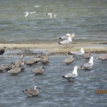
    Young Yellow-legged Gull on the Cakinitsky islands

    Karkinitska and Dzharylgatska Bays

    • Country: 
      Ukraine
    • Designation date: 
      11-10-1976
    • Site number: 
      114
    • Published since: 
      1 year(s)
    147,557 ha
  2. Photo 1 : AGEREF
    Pratique de la Chasse sportive dans le site Ramsar
    Sortie d'éducation environnementale avec les élèves du CEG de Folonzo
    Cérémonie de récompense des meilleurs producteurs RNA 2015 des villages membres de l'AGEREF/CL en présence des autorités régionales

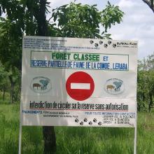
    La Forêt Classée et Réserve Partielle de Faune Comoé-Léraba

    • Country: 
      Burkina Faso
    • Designation date: 
      07-10-2009
    • Site number: 
      1878
    • Published since: 
      7 year(s)
    124,510 ha
  3. Ramsar logo

    Salar de Tara

    • Country: 
      Chile
    • Designation date: 
      02-12-1996
    • Site number: 
      875
    • Published since: 
      14 year(s)
    96,439 ha
  4. Ramsar logo

    Humedal Maquenque

    • Country: 
      Costa Rica
    • Designation date: 
      22-05-2010
    • Site number: 
      1918
    • Published since: 
      13 year(s)
    59,692 ha
  5. Des hippoptames
    Oiseaux d'eau
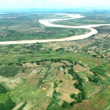
    Une vue de la plaine de Sourou
    Une vue de la plaine de Sourou
    x
    Oiseaux d’eau du Sourou
    Peuplement pur de Mytragina inermis
    Peuplement pur d’Anogeissus leiocarpus
    Crocodiles du Sourou

    Plaine Inondable du Sourou

    • Country: 
      Mali
    • Designation date: 
      22-03-2013
    • Site number: 
      2128
    • Published since: 
      11 year(s)
    56,500 ha
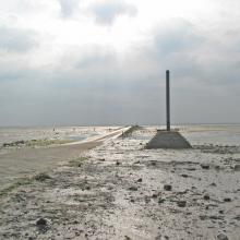
  6. le marais salé
    plage
    Le Gois

    Marais Breton, Baie de Bourgneuf, Ile de Noirmoutier et Forêt de Monts

    • Country: 
      France
    • Designation date: 
      02-02-2017
    • Site number: 
      2283
    • Published since: 
      7 year(s)
    55,826 ha
  7. Ciénaga de Ayapel
    Ciénaga de Ayapel El Roble
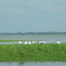
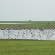
    Aves acuáticas Ciénaga de Ayapel
    Aves en charca Ciénaga de Ayapel
    Ciénaga de Ayapel
    Pato yuyo Ciénaga de Ayapel

    Complejo Cenagoso de Ayapel

    • Country: 
      Colombia
    • Designation date: 
      23-06-2020
    • Site number: 
      2499
    • Published since: 
      1 year(s)
    54,377 ha
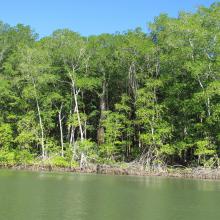
  8. Bosque de Manglar/Estero de Jaltepeque
    Bosque de Manglar/Estero de Jaltepeque
    Phalacrocorax brasilianus (Pato Chancho) especie potencialmente oportunista en la zona.
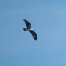
    Pandion haliaetus (Águila Pescadora), migratoria.
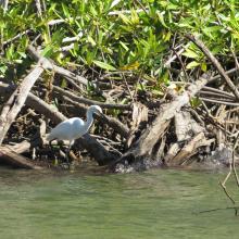
    Egretta thula (Garza blanca de patas amarillas).

    Complejo Jaltepeque

    • Country: 
      El Salvador
    • Designation date: 
      02-02-2011
    • Site number: 
      1935
    • Published since: 
      2 year(s)
    49,474 ha
  9. Mangroves de Tsiribihina
    Mangroves de Tsiribihina
    Zone intertidale ouverte et lieu de ponte de flamants roses
    Le fleuve Tsiribihina
    Les plaines alluviales au bord du fleuve Tsiribihina
    Mangrove mixte à Avicennia marina et Rhizophora mucronata
    Exploitation de Typha angustifolia par les communautés locales
    Peuplement de flamants roses à Ankiamena
    Zones de ponte de flamants roses à Ankiamena
    Anas hottentota
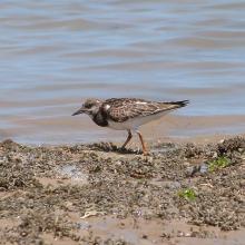
    Arenaria interpres
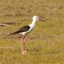
    Himantopus himantopus
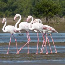
    Phoenicopterus ruber
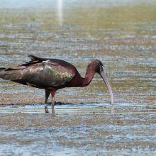
    Plegadis falcinellus

    Mangroves de Tsiribihina

    • Country: 
      Madagascar
    • Designation date: 
      22-05-2017
    • Site number: 
      2302
    • Published since: 
      6 year(s)
    47,218 ha
  10. Ramsar logo

    Moyenne Dr'a

    • Country: 
      Morocco
    • Designation date: 
      15-01-2005
    • Site number: 
      1482
    • Published since: 
      19 year(s)
    45,000 ha

Pages

Stats


Exports

Export Sites information

For a summary list of all the Ramsar Sites in pdf format, click here.

Generate reports of selected Sites

You can generate a report based on the filters you have applied, in either pdf or xls format. The report will sort the results by the Site name, unless you have sorted them by another variable.

For the pdfs, you can choose whether to include the introductory text on each Site, or just show the key data in a shorter report.

To receive a report, please provide your email address and enter the text in the verification picture into the textbox.

As soon as the list has been generated an e-mail will be sent to you with the link to access the file.