Search results

Map

Choose map: | | Download Centroids / Boundaries / Map (pdf)
Materials presented on this website, particularly maps and territorial information, are as-is and as-available based on available data and do not imply the expression of any opinion whatsoever on the part of the Secretariat of the Ramsar Convention concerning the legal status of any country, territory, city or area, or of its authorities, or concerning the delimitation of its frontiers or boundaries.

List

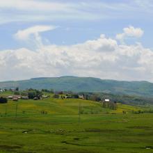
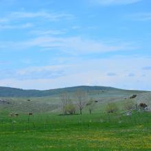
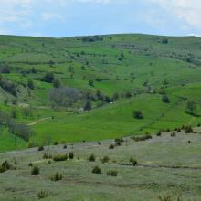
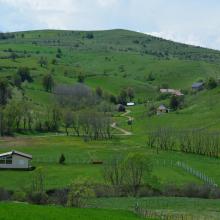
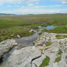
  1. Landscape
    Landscape
    Landscape
    Landscape
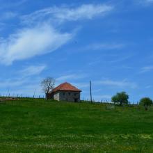
    Local architecture
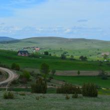
    Landscape
    Landscape
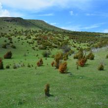
    Landscape
    Landscape
    Landscape
    Landscape
    Landscape
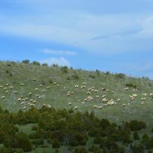
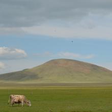
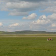
    Traditional manner of keeping the cattle grazing
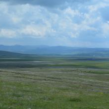
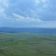
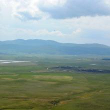
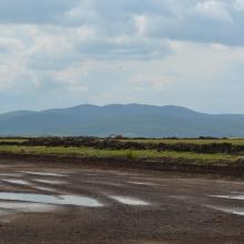
    The view of Peštersko polje from Trojan Hill
    The view of Peštersko polje from Trojan Hill
    The view from Trojan Hill of the area surrounding Peštersko polje
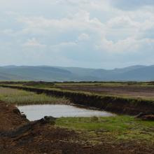
    The view of peat exploitation parcels from Trojan Hill
    The Trojan Hill, the highest peek on the Pešter Plateau (1351m a.s.l.)
    Djurdjevica spring
    Djurdjevica spring
    Djurdjevica spring
    The Trojan Hill, the highest peek on the Pešter Plateau (1351m a.s.l.)
    Landscape
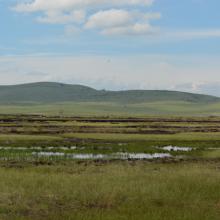
    Wetlands
    Wetlands
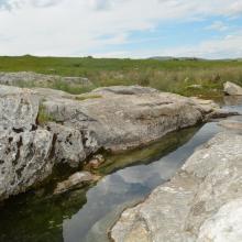
    Wetlands near the Trojan Hill
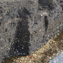
    Exploitation of peat
    Exploitation of peat
    Exploitation of peat
    Exploitation of peat

    Pestersko polje

    • Country: 
      Serbia
    • Designation date: 
      19-03-2006
    • Site number: 
      1656
    • Published since: 
      4 year(s)
    3,421 ha
  2. Bahia San Lorenzo y Chismuyo
    Bahia San Lorenzo - Chismuyo
    Bahia de San Lorenzo
    Los Delgaditos
    San Bernardo
    Bahía San Lorenzo
    Los Delgaditos

    Sistema de Humedales de la Zona Sur de Honduras

    • Country: 
      Honduras
    • Designation date: 
      10-07-1999
    • Site number: 
      1000
    • Published since: 
      2 year(s)
    75,031 ha
  3. Haeska coastal meadow

    Matsalu

    • Country: 
      Estonia
    • Designation date: 
      29-03-1994
    • Site number: 
      104
    • Published since: 
      3 year(s)
    48,610 ha
  4. shallow sea

    Laidevahe

    • Country: 
      Estonia
    • Designation date: 
      24-03-2003
    • Site number: 
      1271
    • Published since: 
      4 year(s)
    2,424 ha
  5. Osmussaare

    Haapsalu-Noarootsi

    • Country: 
      Estonia
    • Designation date: 
      08-02-2011
    • Site number: 
      2022
    • Published since: 
      2 year(s)
    27,450 ha
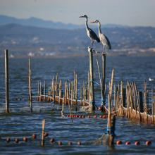
  6. L’Albufera. Sistema de pesca tradicional (redolín)
    L’Albufera. Puesta de sol
    L’Albufera. Vista aérea de la restinga costera
    L’Albufera. Vista aérea del bosque de la Devesa y de la Mata del Fang.
    L’Albufera. Vista aérea del arrozal en época de cultivo
    L’Albufera. Avifauna en el arrozal inundado.
    L’Albufera. Barcas tradicionales de pesca (albuferencs)
    L’Albufera. Imagen de los años 50 de navegación con vela latina
    L’Albufera. Arrozal inundado y construcciones industriales tradicionales

    L'Albufera

    • Country: 
      Spain
    • Designation date: 
      05-12-1989
    • Site number: 
      454
    • Published since: 
      3 year(s)
    20,956 ha
  7. Tolkuse Bog

    Luitemaa

    • Country: 
      Estonia
    • Designation date: 
      27-01-2010
    • Site number: 
      1962
    • Published since: 
      3 year(s)
    11,240 ha
  8. Asian openbill in Northern site of wetland
    Large open water area
    Crocodile basking on the wetland site

    Sakhya Sagar

    • Country: 
      India
    • Designation date: 
      07-01-2022
    • Site number: 
      2483
    • Published since: 
      1 year(s)
    248 ha
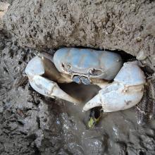
  9. Christmas Island blue crab (photo credit: Isarena Schneider)
    Blue crab hideout, Christmas Island (photo credit: Isarena Schneider)
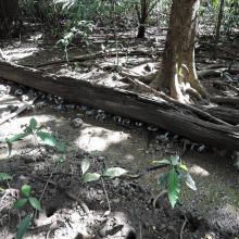
    Stand comprising some of the largest mangrove trees ever recorded (photo credit: Max Orchard)

    Hosnie's Spring

    • Country: 
      Australia
    • Designation date: 
      11-12-1990
    • Site number: 
      512
    • Published since: 
      1 year(s)
    202 ha
  10. Little Waterhouse Lake, Tasmania
    Little Waterhouse Lake, Tasmania
    Little Waterhouse Lake, Tasmania

    Little Waterhouse Lake

    • Country: 
      Australia
    • Designation date: 
      16-11-1982
    • Site number: 
      260
    • Published since: 
      1 year(s)
    56 ha

Pages

Stats


Exports

Export Sites information

For a summary list of all the Ramsar Sites in pdf format, click here.

Generate reports of selected Sites

You can generate a report based on the filters you have applied, in either pdf or xls format. The report will sort the results by the Site name, unless you have sorted them by another variable.

For the pdfs, you can choose whether to include the introductory text on each Site, or just show the key data in a shorter report.

To receive a report, please provide your email address and enter the text in the verification picture into the textbox.

As soon as the list has been generated an e-mail will be sent to you with the link to access the file.