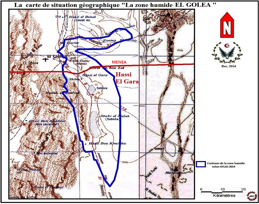
Sebkhet El Melah
Sebkhet El Melah
- Country:
- Algeria
- Site number:
- 1429
- Area:
- 18,947.0 ha
- Designation date:
- 12-12-2004
- Coordinates:
- 30°30'20"N 02°55'34"E
Carousel
Carousel


Materials presented on this website, particularly maps and territorial information, are as-is and as-available based on available data and do not imply the expression of any opinion whatsoever on the part of the Secretariat of the Ramsar Convention concerning the legal status of any country, territory, city or area, or of its authorities, or concerning the delimitation of its frontiers or boundaries.
The Site is an endorheic depression with saline soils featuring two bodies of water: the pond-like upper basin of moderate salinity, which is very rich in biological diversity, and a bare sebkha or salt lake with salt-encrusted banks. The Site is important for the conservation of Mediterranean and central Saharan biodiversity, thanks to its variety of habitats including tamarisk forest and dunes which cater to different species: it hosts various reptiles and amphibians, algae, phanerogams; fish, crustacean, bird species, and small mammals. The area’s high productivity, caused by the high temperatures and consequently high decomposition rates, contributes to making it a significant breeding and nursery site for several waterbird species. It hosts more than 1% of the biogeographic populations of Tadorna ferruginea and Aythya nyroca. Ancient graves can be found in the area, while the cliffs have been found to contain marine paleontological remains. Limited agricultural activities take place in the Site, while around it are palm cultivations organized under cooperatives. Waste disposal, human expansion and poaching are the main threats to the Site. A management plan and classification as a nature reserve are foreseen.
- DZ1429RIS_1803_fr.pdf
- DZ1429RISformer_161020.pdf
- DZ1429map.pdf
- DZ1429_map161026.png
- DZ1429_taxo160725.docx
- DZ1429_taxo160725_1.docx
- DZ1429_taxo160725_2.docx
- DZ1429_taxo160725_3.docx