Runde
Runde
- Country:
- Norway
- Site number:
- 2164
- Area:
- 351.0 ha
- Designation date:
- 27-05-2013
- Coordinates:
- 62°24'33"N 05°39'54"E
Carousel
CarouselMaterials presented on this website, particularly maps and territorial information, are as-is and as-available based on available data and do not imply the expression of any opinion whatsoever on the part of the Secretariat of the Ramsar Convention concerning the legal status of any country, territory, city or area, or of its authorities, or concerning the delimitation of its frontiers or boundaries.
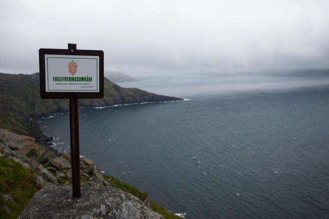
The Site consists of several protected areas on the island of Runde, the neighbouring islands Skjervøya and Grasøya and surrounding islets, which support nationally threatened bird species such as the black-legged kittiwake (Rissa tridactyla) and the common murre (Uria aalge). Cliff-nesting birds dominate the wildlife, and Runde regularly supports more than 120,000 breeding pairs. The hillsides and the plateau of Runde are dominated by open heathland, small freshwater ponds and grassland, as well as mires which are important for carbon storage and provide nesting sites for species such as the great skua (Stercorarius skua). The site supports large populations of vulnerable species such as the Atlantic puffin (Fratercula Arctica) and the leach’s storm petrel (Oceanodroma leucorhoa), and the near threanted common eider (Somateria mollissima). There are no human settlements inside the protected areas, but the Site is used for tourism, sheep grazing, scientific research, and the SEAPOP seabird monitoring and mapping project. As the site has become a popular tourist destination, the possible disturbance of birdlife is now monitored. There is also a risk of oil spills from ships.
- Bird Protection Areas - Grasøyane, Runde Westside, Runde Northside and Hellestien-Blåfjellet-Kløfjellet-Geita.
- Nature Reserve - Goksøyrmyrane
- NO2164RIS_2305_en.pdf
- NO2164RISformer_171117.pdf
- NO2164RISformer_220627_1804_en.pdf
- NO2164_map171208.pdf


