Search results

Map

Choose map: | | Download Centroids / Boundaries / Map (pdf)
Materials presented on this website, particularly maps and territorial information, are as-is and as-available based on available data and do not imply the expression of any opinion whatsoever on the part of the Secretariat of the Ramsar Convention concerning the legal status of any country, territory, city or area, or of its authorities, or concerning the delimitation of its frontiers or boundaries.

List

  1. lac Bedo

    Zones humides de Bedo

    • Country: 
      Madagascar
    • Designation date: 
      12-05-2007
    • Site number: 
      1686
    • Published since: 
      7 year(s)
    1,962 ha
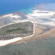
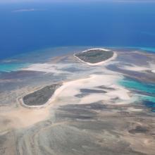
  2. Quelques uns des iles Barren
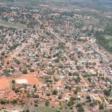
    La ville de Maintirano
    Iles Barren
    Ile de Maroantaly
    Caretta caretta
    Chelonia mydas
    Dermochelys coriacea
    Eretmochelys imbricata bissa
    Lepidochelys olivacea
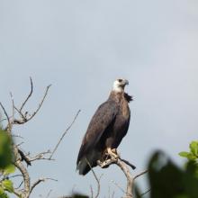
    Haliaeetus vociferoides
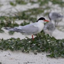
    Sterna anaethetus
    Sterna dougallii

    Iles Barren

    • Country: 
      Madagascar
    • Designation date: 
      22-05-2017
    • Site number: 
      2303
    • Published since: 
      7 year(s)
    463,200 ha
  3. Village d'Ankazomborona et mangroves dans la Baie d'Ambaro
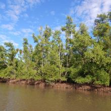
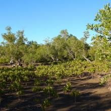
    Mangroves le long du chenal
    Zone de restauration
    Haliaeetus vociferoides
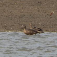
    Anas bernieri
    Ardea humbloti
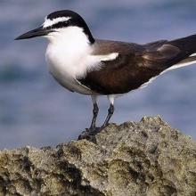
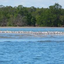
    Peuplement de Sterna bengalensis
    Microcebus sambiranensis
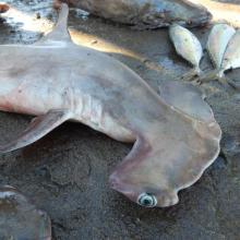
    Shpyrna mokarran
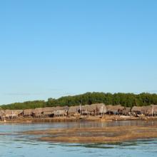
    Village de pêcheurs
    Femme pêcheur
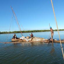
    Pêcheurs

    Mangroves de la Baie d'Ambaro

    • Country: 
      Madagascar
    • Designation date: 
      20-08-2020
    • Site number: 
      2438
    • Published since: 
      3 year(s)
    54,000 ha
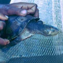
  4. Erymnochelys madagascariensis au lac Kinkony
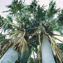
    Borassus madagascariensis, une plante endémique Malagasy a Marandravy, Lac Kinkony

    Lac Kinkony

    • Country: 
      Madagascar
    • Designation date: 
      15-09-2011
    • Site number: 
      2048
    • Published since: 
      4 year(s)
    12,800 ha
  5. Tasek Bera

    • Country: 
      Malaysia
    • Designation date: 
      10-11-1994
    • Site number: 
      712
    • Published since: 
      26 year(s)
    38,446 ha
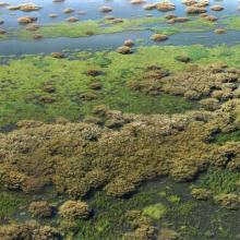
  6. Forêt inondée à Acacia kirkii (Akagoun – Youwarou)
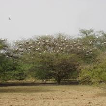
    Bande de Dendrocygnes fauves au bord du lac Débo
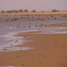
    Limicoles
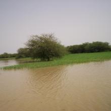
    Une vue du Delta Intérieur du fleuve Niger au Mali
    Akagoun en étiage
    x
    x
    x
    x
    Tombouctou

    Delta Intérieur du Niger

    • Country: 
      Mali
    • Designation date: 
      01-02-2004
    • Site number: 
      1365
    • Published since: 
      20 year(s)
    4,119,500 ha
  7. x
    x

    Jaluit Atoll Conservation Area

    • Country: 
      Marshall Islands
    • Designation date: 
      13-07-2004
    • Site number: 
      1389
    • Published since: 
      20 year(s)
    69,000 ha
  8. Guelta Matmata
    Lac Gabou
    Tamourt Naaj
    Tamourt Naaj
    Guelta Bajai
    Guelta ElGidya

    Lac Gabou et le réseau hydrographique du Plateau du Tagant

    • Country: 
      Mauritania
    • Designation date: 
      13-02-2009
    • Site number: 
      1854
    • Published since: 
      15 year(s)
    9,500 ha
  9. Les populations de limicole dans l’interface désert-océan
    Les bancs et chenaux en basse marée

    Parc National du Banc d'Arguin

    • Country: 
      Mauritania
    • Designation date: 
      22-10-1982
    • Site number: 
      250
    • Published since: 
      25 year(s)
    1,200,000 ha
  10. Ballena de aleta
    Diferentes especies de patos
    Estero del Rincón
    Estero Guadalupe
    Estero La Mona
    Estero Las Ánimas
    Estero Punta Arena
    Estero San Rafael
    Gallito marino (Sterna maxima)
    Isla Gemilito
    Isla La Ventana
    Lobo marino californiano (Zalophus californianus)
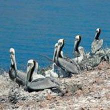
    Pelicano café (Pelecanus occidentalis)
    Playa El Venado
    Playa La Única
    Playa San Francisquito
    Punta La Gringa
    Punta María
    Punta Remedios
    Tiburón ballena (Rhincodon typus)
    Vista aérea del Estero del Cardón
    Vista aérea del Estero El Quemado
    Vista aérea del Estero Guadalupe
    Vista aérea del Estero Las Ánimas

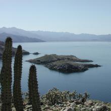
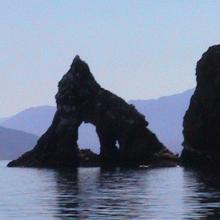
    Corredor Costero La Asamblea-San Francisquito

    • Country: 
      Mexico
    • Designation date: 
      27-11-2005
    • Site number: 
      1595
    • Published since: 
      18 year(s)
    44,304 ha

Pages

Stats


Exports

Export Sites information

For a summary list of all the Ramsar Sites in pdf format, click here.

Generate reports of selected Sites

You can generate a report based on the filters you have applied, in either pdf or xls format. The report will sort the results by the Site name, unless you have sorted them by another variable.

For the pdfs, you can choose whether to include the introductory text on each Site, or just show the key data in a shorter report.

To receive a report, please provide your email address and enter the text in the verification picture into the textbox.

As soon as the list has been generated an e-mail will be sent to you with the link to access the file.