Search results

Map

Choose map: | | Download Centroids / Boundaries / Map (pdf)
Materials presented on this website, particularly maps and territorial information, are as-is and as-available based on available data and do not imply the expression of any opinion whatsoever on the part of the Secretariat of the Ramsar Convention concerning the legal status of any country, territory, city or area, or of its authorities, or concerning the delimitation of its frontiers or boundaries.

List

  1. marais de Torotorofotsy
    marais de Torotorofotsy
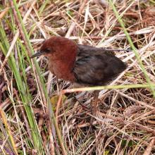
    Sarothrura watersi
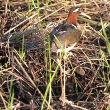
    Rostratula benghalensis

    Marais de Torotorofotsy avec leurs bassins versants

    • Country: 
      Madagascar
    • Designation date: 
      02-02-2005
    • Site number: 
      1453
    • Published since: 
      7 year(s)
    9,993 ha
  2. Marais Vernier
    Embouchure de la Risle
    Courtils au marais Vernier

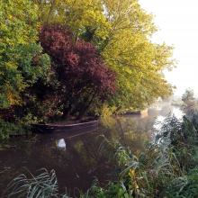
    Marais Vernier et Vallée de la Risle maritime

    • Country: 
      France
    • Designation date: 
      18-12-2015
    • Site number: 
      2247
    • Published since: 
      8 year(s)
    9,564 ha
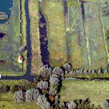
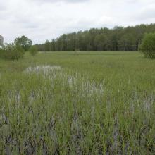
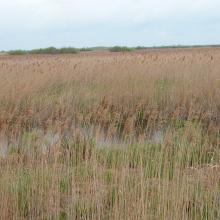
  3. The territory is located in the interfluve of rivers Pripyat and Prostyr and annually is flooded during the spring for about 3 month.
    The black alder waterlogged forest is situated along the Prostyr river.
    Floodplain meadows during the flood.
    Floodplain meadows during the flood.
    The considerable part of floodplain meadows are overgrown with reeds due to cessation of traditional use of the floodplain.

    Prostyr

    • Country: 
      Belarus
    • Designation date: 
      18-10-2005
    • Site number: 
      1611
    • Published since: 
      8 year(s)
    9,544 ha
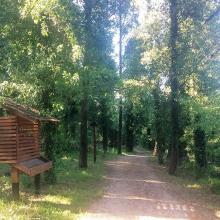
  4. Educational trail
    Karaotok
    Karaotok
    Karaotok
    Karaotok
    Educational trail
    Educational trail
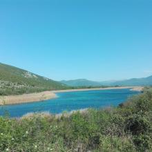
    Lake Škrka
    Lake Svitava
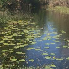
    Nuphar lutea
    Natrix tesselata
    Vipera ammodytes

    Hutovo Blato

    • Country: 
      Bosnia and Herzegovina
    • Designation date: 
      24-09-2001
    • Site number: 
      1105
    • Published since: 
      4 year(s)
    7,824 ha
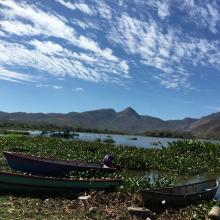
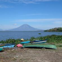
  5. Panorámica Laguna de Olomega
    Panorámica Laguna de Olomega 2
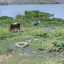
    Ganado en Laguna de Olomega
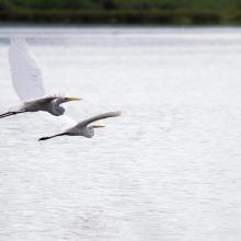
    Ardea alba
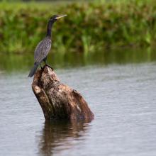
    Phalacrocorax brasilianus
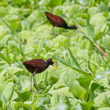
    Jacana spinosa

    Laguna de Olomega

    • Country: 
      El Salvador
    • Designation date: 
      02-02-2010
    • Site number: 
      1899
    • Published since: 
      2 year(s)
    7,557 ha
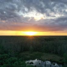
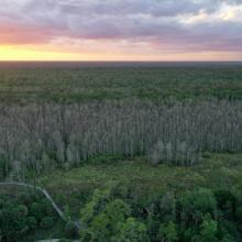
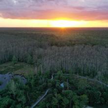
  6. Drone Image of Corkscrew Swamp Sanctuary
    Drone Image of Corkscrew Swamp Sanctuary
    Drone Image of Corkscrew Swamp Sanctuary
    Drone Image of Corkscrew Swamp Sanctuary
    Drone Image of Corkscrew Swamp Sanctuary
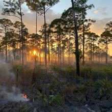
    Prescribed Wildfire Burn
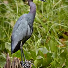
    Little Blue Heron
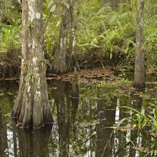
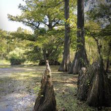
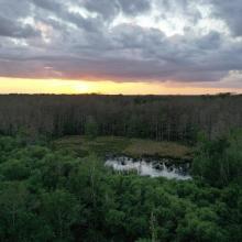
    Swamp at Corkscrew Swamp Sanctuary
    Swamp at Corkscrew Swamp Sanctuary
    Swamp at Corkscrew Swamp Sanctuary
    Swamp at Corkscrew Swamp Sanctuary

    Corkscrew Swamp Sanctuary

    • Country: 
      United States of America
    • Designation date: 
      23-03-2009
    • Site number: 
      1888
    • Published since: 
      2 year(s)
    5,261 ha
  7. Kayaking on the Lower Niagara River
    Niagara river corridor
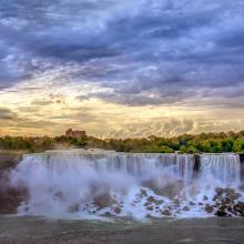
    Gorgeous morning over America falls

    Niagara River Corridor

    • Country: 
      United States of America
    • Designation date: 
      03-10-2019
    • Site number: 
      2402
    • Published since: 
      4 year(s)
    5,248 ha
  8. paysage du marais
    moulin et gestion hydraulique
    les maisons sur les îles
    vol de cygnes au dessus d'une rivière
    Saules têtards sous la neige

    Le Marais audomarois

    • Country: 
      France
    • Designation date: 
      15-09-2008
    • Site number: 
      1835
    • Published since: 
      6 year(s)
    3,726 ha
  9. Lagunas de La Mata y Torrevieja. Flamencos en la laguna de La Mata
    Lagunas de La Mata y Torrevieja. Panorámica de la laguna de La Mata
    Lagunas de La Mata y Torrevieja. Colonia de Audouinii en la laguna de Torrevieja
    Lagunas de La Mata y Torrevieja. Canal para el trasvase de salmueras “Casa de Máquinas”

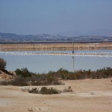
    Lagunas de La Mata y Torrevieja

    • Country: 
      Spain
    • Designation date: 
      05-12-1989
    • Site number: 
      456
    • Published since: 
      3 year(s)
    3,717 ha
  10. Salinas de Santa Pola. Vista aérea
    Salinas de Santa Pola. Cristalizador (laguna rosa)
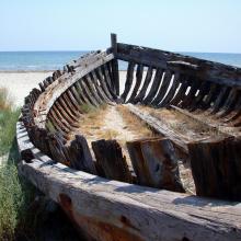
    Salinas de Santa Pola. Barca en la playa
    Salinas de Santa Pola. Itinerario de las dunas del Pinet
    Salinas de Santa Pola. Laguna en la zona dunar del Pinet
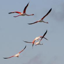
    Salinas de Santa Pola. Flamencos en vuelo
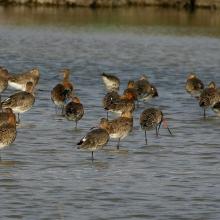
    Salinas de Santa Pola Agujas colipintas en paso.
    Salinas de Santa Pola Detalle de Limonium cesium

    Salinas de Santa Pola

    • Country: 
      Spain
    • Designation date: 
      05-12-1989
    • Site number: 
      457
    • Published since: 
      3 year(s)
    2,491 ha

Pages

Stats


Exports

Export Sites information

For a summary list of all the Ramsar Sites in pdf format, click here.

Generate reports of selected Sites

You can generate a report based on the filters you have applied, in either pdf or xls format. The report will sort the results by the Site name, unless you have sorted them by another variable.

For the pdfs, you can choose whether to include the introductory text on each Site, or just show the key data in a shorter report.

To receive a report, please provide your email address and enter the text in the verification picture into the textbox.

As soon as the list has been generated an e-mail will be sent to you with the link to access the file.